


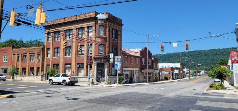
Romney, WV (West Virginia), the county seat of Hampshire County, was charted in 1762 and established at the site of Fort Pearsoll, built in 1758 for defense against the Indians. Romney was named by Lord Fairfax for the Town of Romney, on the coast of southern England. While not the oldest settlement in the state, it was the first incorporated town in what's now West Virginia.
Romney is situated in the valley of the South Branch of the Potomac River. Its population was 1,848 at the 2010 census. The West Virginia School for the Deaf and Blind is located near the center of Romney.
Lodging near Romney, West Virginia
Parks & Public Recreation
The Fort Mill Ridge Wildlife Management Area is located approximately three miles southwest of Romney. The near reaches of the Springfield Wildlife Management Area is located roughly five miles north of the community.
Location
Romney is located on highways US-50 and WV-28 approximately 20 miles east of New Creek, West Virginia, 26 miles northeast of the US-48 expressway at Moorefield, West Virginia, 30 miles south of I-68 at Cumberland, Maryland, and 40 miles west of I-81 at Winchester, Virginia.
Map of Romney, West Virginia
Regional Information
Romney is located in the Potomac Branches Region in eastern West Virginia.


