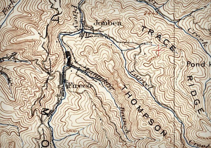
Topographic Map showing Fireco, WV, c. 1935 by WVExplorer | Sep 20, 2019 | 0 comments A topographic map shows the hills and ridges around Fireco, West Virginia, in the 1930s. Submit a Comment Cancel replyYour email address will not be published. Required fields are marked *Comment * Name * Email * Website Save my name, email, and website in this browser for the next time I comment. Δ