


Google Earth image showing Crany, WV
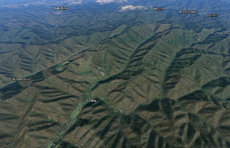
This Google Earth image shows Crany, West Virginia, and Guyandotte Mountain in the near distance. Captain Stewart’s Grave is located in the lower right of the image near Crany.


This Google Earth image shows Crany, West Virginia, and Guyandotte Mountain in the near distance. Captain Stewart’s Grave is located in the lower right of the image near Crany.