The Salt River and nearby Lost Branch appear on a 1968 map of the Guyandotte River.
Home Ghostly thunder in W.Va. mountains tied to subterranean source Map showing Salt River and Lost Branch
Map showing Salt River and Lost Branch
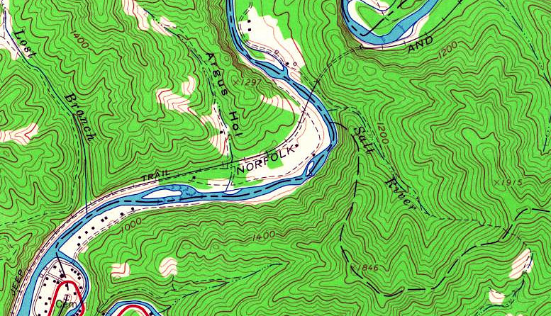


The Salt River and nearby Lost Branch appear on a 1968 map of the Guyandotte River.
West Virginia Explorer Webzine is an online publication that celebrates the Mountain State's rich culture and natural beauty. Readers enjoy travel tips, hidden gems, outdoor adventures, local lore, and community news. For more than a quarter century, we've been the No. 1 trusted guide for exploring West Virginia.
Get important news delivered directly to your inbox and stay connected!


