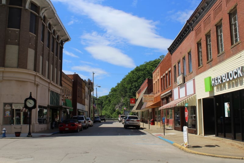
The Town of Clendenin, WV (West Virginia), is a municipality on the lower Elk River in Kanawha County. Its population was 1,227 during the 2010 census. The town may best be known as a service center for the surrounding rural region and as a bedroom community of Charleston, West Virginia, a 30-minute drive southwest.

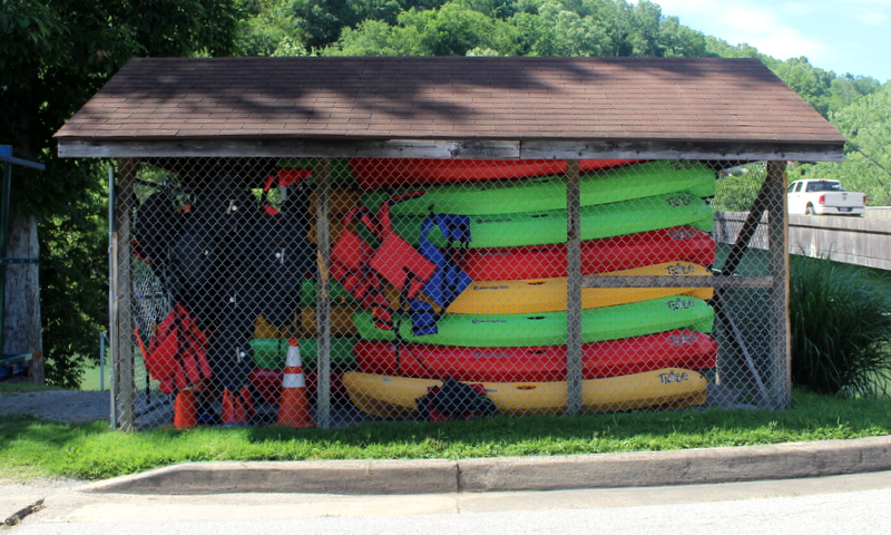
The downriver entrance to the Elk River Trail State Park is located in downtown Clendenin commercial district, which is being developed as part of the Clendenin National Historic District.
History
Clendenin was platted in 1877 and incorporated in 1904 and named for the Clendenin family, members of which were pioneers in the Kanawha Valley region in the late 1700s.
The community was first settled at the confluence of Big Sandy Creek and the Elk River and was for many years known as Chilton. In 1846, a seam of cannel coal was discovered at nearby Falling Rock, which became a source for the manufacture of artificial gas.
In 1893, the Coal and Coke Railway opened along the Elk, connecting the commerce of the Potomac, Kanawha, Little Kanawha, and Monongahela basins by rail and infusing the valley between with industry and commerce.
In 1920, the first petrochemical plant in the world was established at Clendenin by the Union Carbide Corporation. When Union Carbide moved its production plant to Charleston, the economy slowed, though Clendenin remained a commercial hub for northern Kanawha County, southern Roane County, and western Clay County.
In 2016, a flash flood produced by unprecedented storms flooded the valleys of the Elk and several other rivers in southern West Virginia. Several businesses in the Clendenin area closed, though the area has slowly recovered. Dammed upstream at Sutton Lake, flooding on the Elk is rare.
Advertisement

Lodging near Clendenin, West Virginia
Parks & Public Recreation
The following parks and public recreation areas are located within 20 miles of Clendenin.
Location
Clendenin is located on highway US-119 approximately 20 miles northeast of Charleston, West Virginia, 20 miles southwest of Clay, West Virginia, and three miles south of I-79.
Map of Clendenin, West Virginia
Regional Information
Clendenin is located in the Metro Valley Region in central West Virginia.
Read Also
- Economy building around Elk River Trail State Park
- Did legendary “Mothman” first appear at Clendenin cemetery?
Sign up to receive a FREE copy of West Virginia Explorer Magazine in your email twice weekly. Sign me up!