
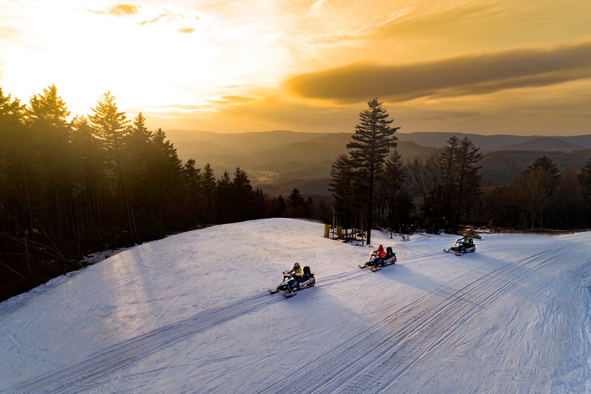
CHARLESTON, W.Va. — A powerful El Niño developing in the Pacific Ocean has about a 60 percent chance of becoming the strongest measured since 1950, according to federal climate forecasters, raising the likelihood of a warmer-than-normal winter in West Virginia.

The National Oceanic and Atmospheric Administration (NOAA) reported Thursday that El Niño continues to strengthen, with more than a 79 percent chance that strong to very strong conditions will persist through January–March 2027.
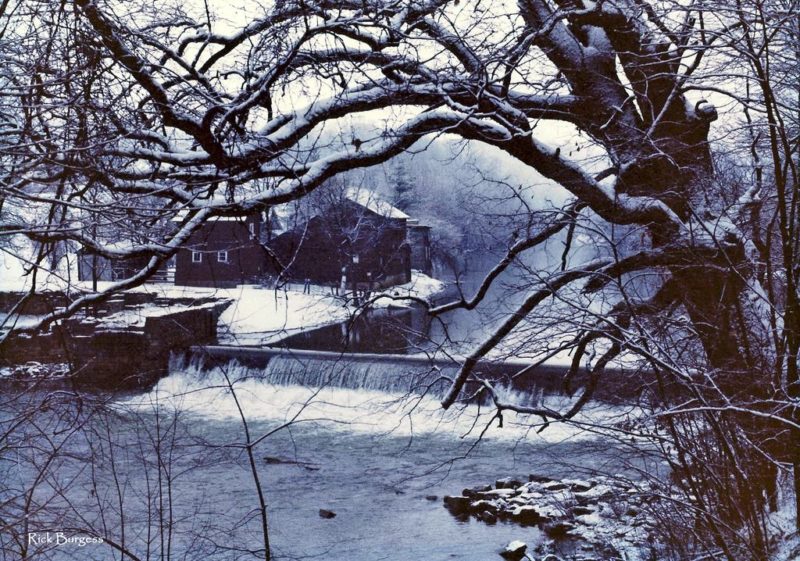
Although the phenomenon is associated with warmer winters across the Ohio Valley, historical research suggests its effects on snowfall vary across West Virginia. Eastern parts of the state have sometimes received above-average snowfall during powerful El Niño winters, even as other areas experienced drier conditions.
El Niño could become strongest since 1950
El Niño occurs when surface waters in the central and eastern tropical Pacific become unusually warm, altering atmospheric circulation and influencing weather patterns across North America.
In its November 12 advisory, NOAA reported that ocean temperatures in the Niño-3.4 region of the tropical Pacific had reached 2.5 degrees Celsius above the reference average.
Forecasters estimated a roughly 60 percent chance that the event would exceed previous El Niños dating to 1950, using a three-month measure that accounts for broader tropical ocean warming. The event is expected to strengthen further before weakening in early 2027.
NOAA’s winter outlook, released October 15, favors above-average temperatures across much of the eastern United States, including the Ohio Valley and Mid-Atlantic.
Precipitation is less certain. The outlook favors wetter conditions across the southern United States and portions of the Eastern Seaboard, but does not establish a clear statewide precipitation trend for West Virginia.
Historical research points to warmer, drier winters
A National Weather Service study of El Niño in the Ohio Valley and southern Great Lakes examined temperature, precipitation, and snowfall records from 17 weather stations, including Charleston and Huntington.

Researchers studied eight El Niño events beginning in 1957 and compared November through March conditions with historical averages.
Regional temperatures were above normal during five of the eight winters, averaging 0.45 degrees Fahrenheit warmer than normal. Precipitation was below normal in seven winters, with an average deficit of 1.82 inches.
The researchers concluded that moderate-to-strong El Niño events were generally associated with warmer and drier conditions across the region.
Snowfall, however, did not follow a consistent pattern at Charleston. Researchers found no reliable relationship between El Niño and below-normal snowfall there, suggesting that geographical influences could complicate the broader regional trend.
West Virginia has experienced numerous destructive winter storms, including the Blizzard of 1888 and the March 1993 Storm of the Century. Several are documented in WVExplorer’s account of the 10 winter snows that shaped West Virginia history
Eastern West Virginia has a different snowfall history
Research compiled by the Northeast Regional Climate Center at Cornell University identifies a geographical difference in snowfall during moderate-to-strong El Niño winters.

An area extending from eastern West Virginia to central New Jersey has historically received above-average snowfall during such events, while much of the northern Northeast has tended to receive less snow.
During the powerful El Niño winter of 1982–83, the region extending from eastern West Virginia to central New Jersey generally recorded snowfall totals more than six inches above normal, according to the climate center.
The findings help explain why warmer seasonal temperatures do not necessarily translate into less snow.
A NOAA analysis of historical snowfall patterns also found that moderate-to-strong El Niño events have tended to increase snowfall across portions of the southern Mid-Atlantic while reducing it across much of the northern United States.
Those historical averages are not forecasts for the coming winter. Snowfall depends on individual storm tracks, temperatures, and other atmospheric conditions that cannot be determined months in advance.
Elevation is another factor. Winter conditions frequently arrive earlier in the highest mountains of the Monongahela National Forest than in the state’s lower valleys.
Snowshoe Mountain President Patti Duncan previously told West Virginia Explorer that El Niño winters have often produced favorable skiing conditions at the resort, although the resort is preparing to rely on snowmaking regardless of natural snowfall.
Winter storm patterns remain uncertain
The U.S. Geological Survey’s regional assessment of the 2026 El Niño indicates that a stronger jet stream could favor more frequent coastal storms along the eastern United States.
Such storms can bring heavy precipitation and snowfall when sufficient cold air is present. However, the agency cautions that the available evidence does not establish whether the Northeast will experience an unusually snowy winter.
For West Virginia, the distinction between seasonal temperatures and individual storms matters most. A winter that averages warmer than normal can still include substantial snowfall.
NOAA does not issue seasonal snowfall accumulation forecasts because individual snowstorms generally cannot be predicted reliably more than about a week in advance.
Updated forecast expected November 19
NOAA’s Climate Prediction Center is scheduled to release its next seasonal temperature and precipitation outlook November 19. Its next El Niño diagnostic discussion is scheduled for December 10.
The updated outlook will provide additional guidance on the probability of warmer, colder, wetter, or drier conditions as West Virginia enters winter.