


Wheeling, West Virginia (WV), the county seat of Ohio County and one of the largest cities in West Virginia, was settled in 1769 by Ebenezer Zane in 1806. According to some account, the name "Weeling" is derived from a native phrase used before Zane arrived that meant "the place of the skulls." Wheeling Jesuit University is located here along Wheeling Creek. Oglebay Park is located five miles northwest of the city and The Highlands retail complex, including a Cabela's, is eight miles eastward.
Lodging near Wheeling, West Virginia
History
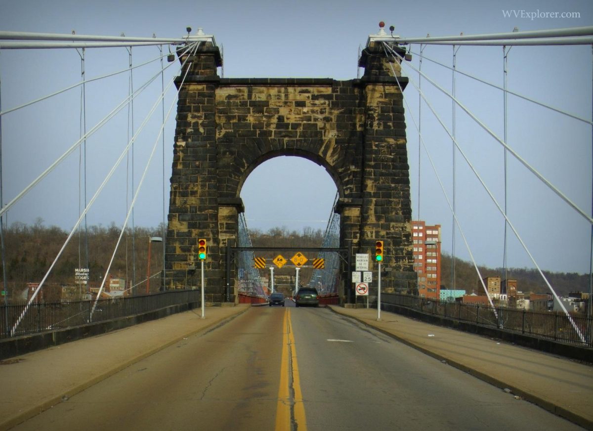
In 1774, Wheeling was the site of Fort Fincastle, later known also as Fort Henry in honor of Patrick Henry. The fort stood along the Ohio River near the mouth of Wheeling Creek. The city was the capital of West Virginia from 1863 to 1870, when it was moved to Charleston, West Virginia. In 1875, it was returned and remained until 1885, when it was removed to Charleston, West Virginia. Wheeling has long been a quintessential American crossroads. The National Road, present day US-40, crosses the Ohio River by way of the Wheeling Suspension Bridge.
Parks & Public Recreation
The following public recreation areas are located within a drive of approximately 20 miles of the community.
- Oglebay Park
- Wheeling Park
- Castleman Run Wildlife Management Area
- Bear Rock Lakes Wildlife Management Area
- Ohio River Islands National Wildlife Refuge
[vc_message style="square" message_box_color="mulled_wine" css_animation="fadeIn"]Wheeling is a favorite haunt of ghost hunters and numbers among the most haunted locales in West Virginia. According to West Virginia Ghosts, a handful of Wheeling hauntings have become legendary.[/vc_message]
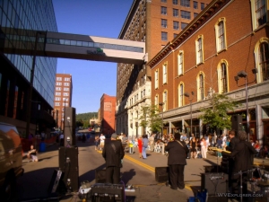
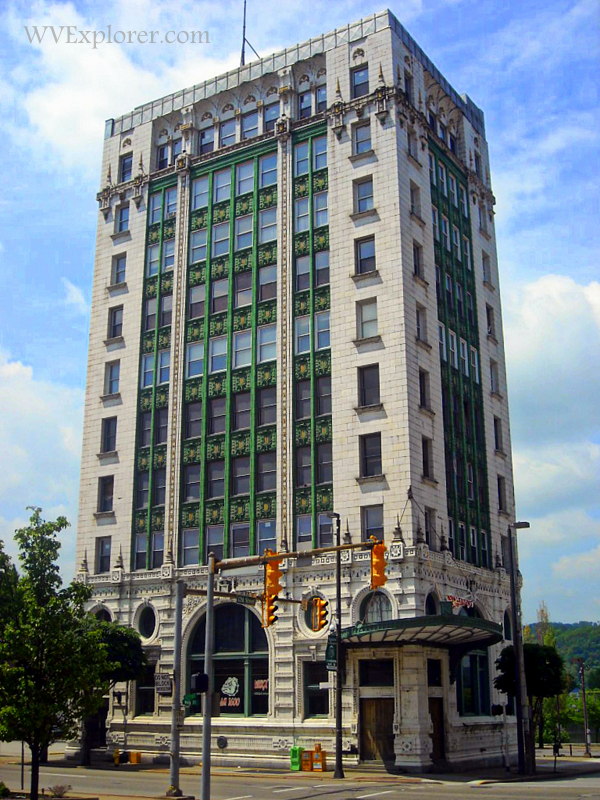
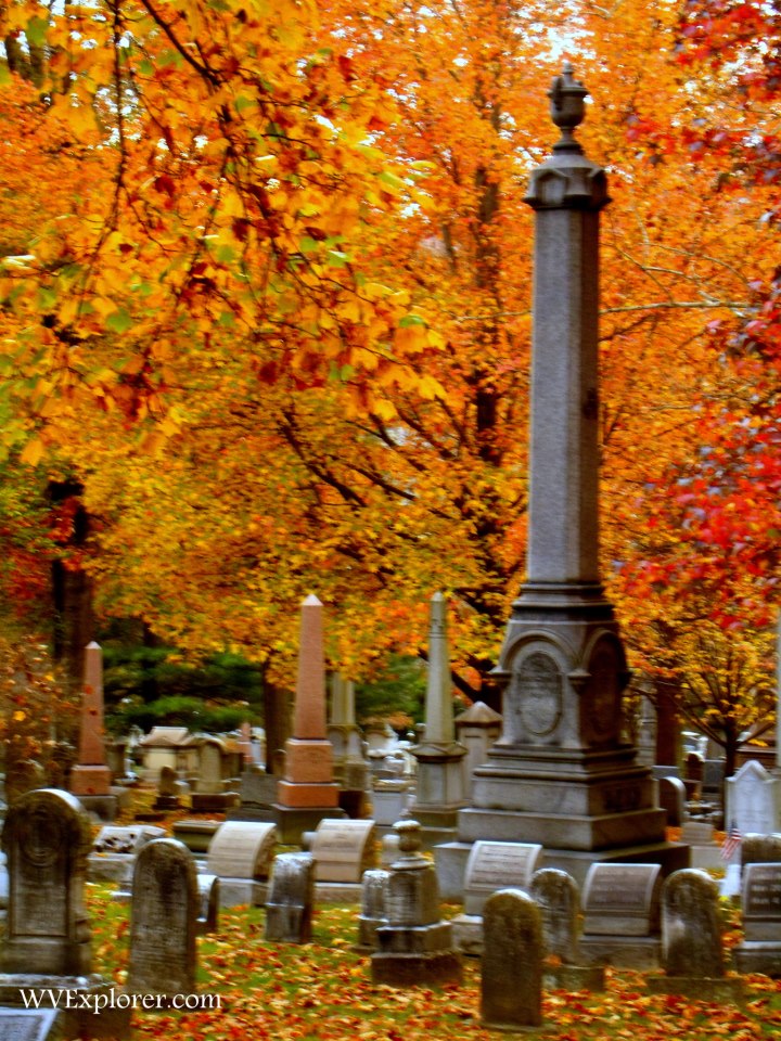
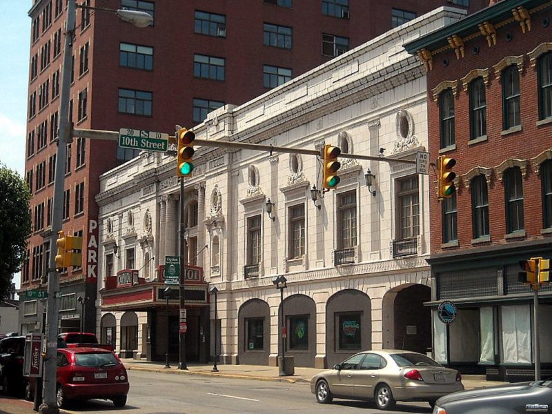
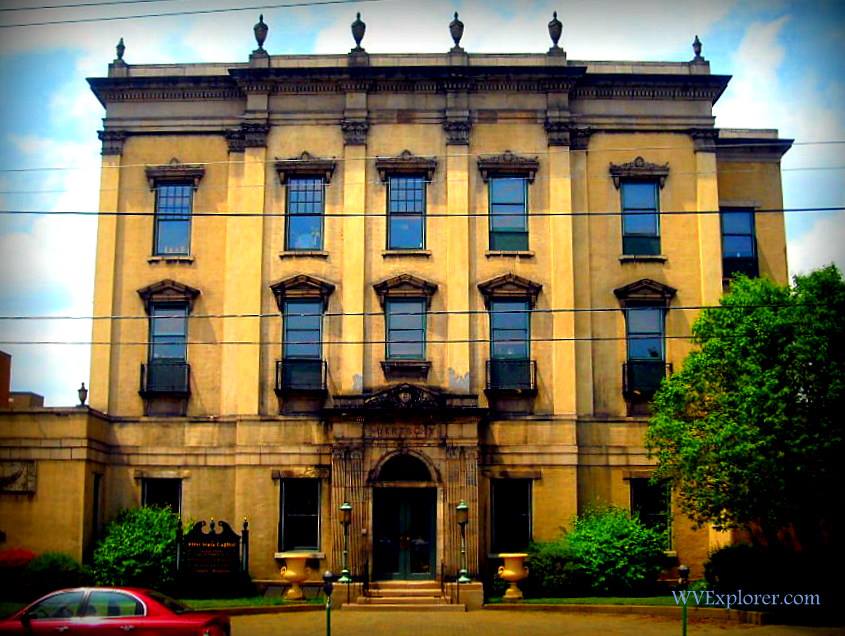
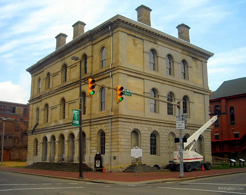
Photos of Wheeling & Vicinity


Location
The city is located on highway WV-2 and the 1-70 and I-470 expressways approximately 10 miles north of Moundsville, West Virginia, 30 miles south of Weirton, West Virginia, 30 mile west of Washington, Pennsylvania, and 50 miles east of Cambridge, Ohio.
Map of Wheeling, West Virginia
Regional Information
The city is in the Northern Panhandle Region in northern West Virginia.
Read Also
Top 10 West Virginia Arts Communities: 2014


