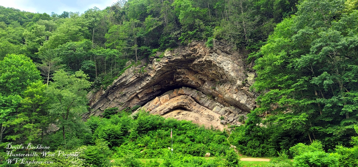
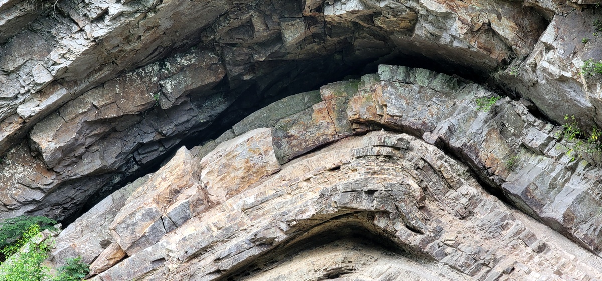
Early settlers in Pocahontas County called it “The Devil’s Backbone” as most believed such an unnatural thing could only be the work of evil. While geologists now understand the forces that created this dramatic arch, the explanation may be even harder to believe than the superstition.
When Jacob Marlin and Stephen Sewell arrived in the valley of the Greenbrier River in the 1770s, the forces that created the sandstone arch were little understood, though they are perhaps even more unbelievable than a demonic cause.
Geologists say the layers of sandstone that vault upward at the backbone are, almost unimaginably, the remnants of a beach that had first been laid down some two billion years ago.
The grains of sand laid down on that beach were then buried, uplifted, eroded, and deposited again as a beach three different times before being warped and exposed here—near what’s now Marlinton, West Virginia.
The rock strata’s most recent incarnation as a beach may have been as a shore of the Iapetus Ocean, a predecessor of the Atlantic Ocean that underlies parts of the eastern U.S. and western Europe.
Read also: Did the Iapetus Ocean ever exist?
Much like the Atlantic coast today, the beach stretched a vast distance. The remnant of that beach is now known as the 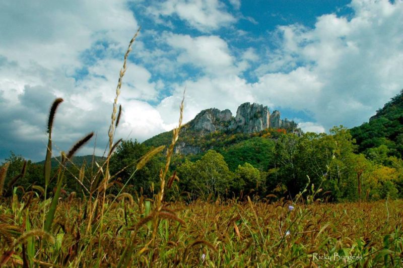 Towering Seneca Rocks by
 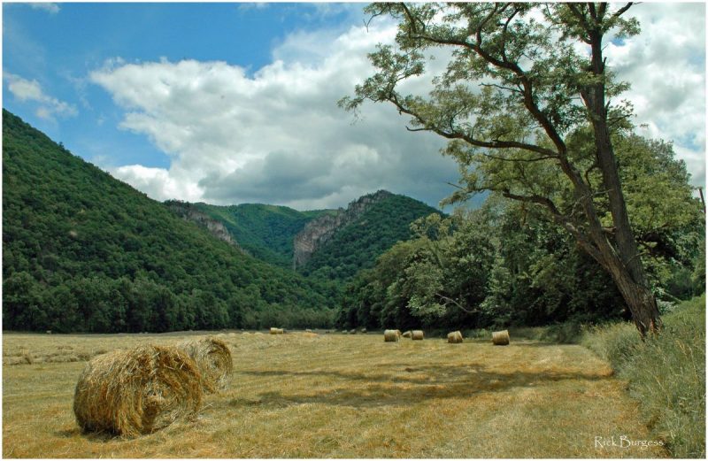 Champe Rocks near Seneca Rocks[/caption]
The towering blades of quartzite that form Champe Rocks, in Pendleton County, might seem a world away from the battlegrounds of the American Revolution, but by chance, they are tied to the history of Benedict Arnold, among the nation’s best-known traitors.
George Washington himself trusted Arnold with the command of fortifications at West Point in 1780, but Arnold secretly planned to surrender the fort to the British and, when discovered, fled to New York City and boarded a British vessel on the Hudson. Read the full story here.
Sign up to receive a FREE copy of West Virginia Explorer Magazine in your email twice weekly. Sign me up!
Wow, fantastic blog layout! How long have you been blogging for? you made blogging look easy. The overall look of your web site is fantastic, as well as the content!