
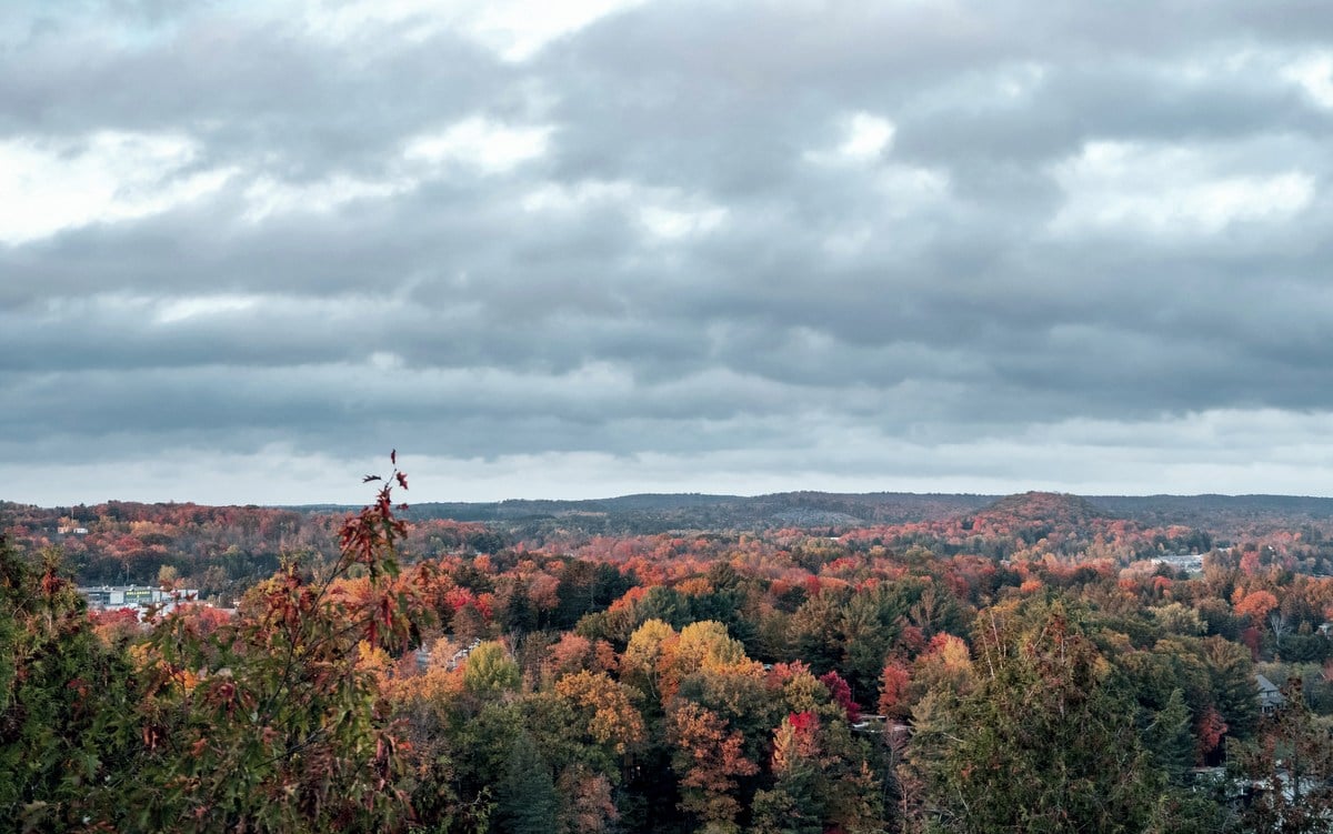
CHARLESTON, W.Va. — Changing leaves may get most of the attention, but another seasonal change happens overhead as summer gives way to fall.

The towering cumulus clouds and afternoon thunderstorms common during the warmest months become less frequent. As the year progresses toward winter, larger weather systems play a greater role, bringing broad cloud decks, low stratus clouds, and the long gray ceilings associated with colder weather.
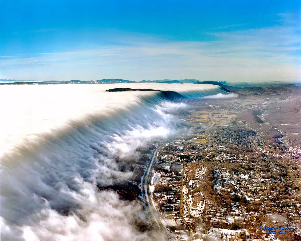
The change is not unique to Appalachia. It occurs across much of the temperate United States as strong summer heating diminishes and weather patterns change with the seasons. In the Appalachian Mountains, however, the terrain can make some of its effects particularly conspicuous as low clouds and fog settle against ridges, fill valleys, and sometimes envelop the mountains themselves.
Summer favors clouds that grow upward
Summer thunderstorms are closely tied to heat and atmospheric instability. The National Weather Service says thunderstorms require moisture, unstable air, and something to set that air in motion. During summer, sunlight often provides the trigger by heating air near the ground. If the atmosphere is sufficiently unstable, pockets of warm air rise, producing cumulus clouds that can continue growing into thunderstorms.
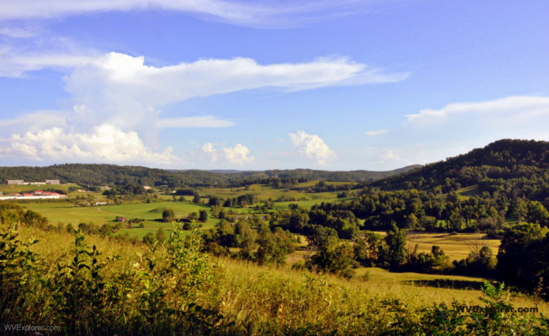
That helps explain a familiar summer pattern across much of the eastern United States—a relatively clear morning followed by growing cumulus clouds and scattered afternoon thunderstorms.
The mountains can influence where those storms develop. A climatology of the southern Appalachians found that fewer large-scale weather systems affect the region in summer and that weaker winds let local terrain exert greater influence. Heating of mountain slopes and weak upslope flow can help focus thunderstorm development.
As summer ends, shorter days and a lower sun reduce the strong surface heating that helps drive convection. Thunderstorms remain possible, sometimes well into fall, but locally generated convection becomes less dominant as larger weather systems increasingly shape conditions across the eastern United States.
Larger weather systems return
During autumn, large-scale, or synoptic, weather systems begin affecting the southern Appalachians more frequently. High-pressure systems between them can also produce some of the clear, dry weather associated with fall.

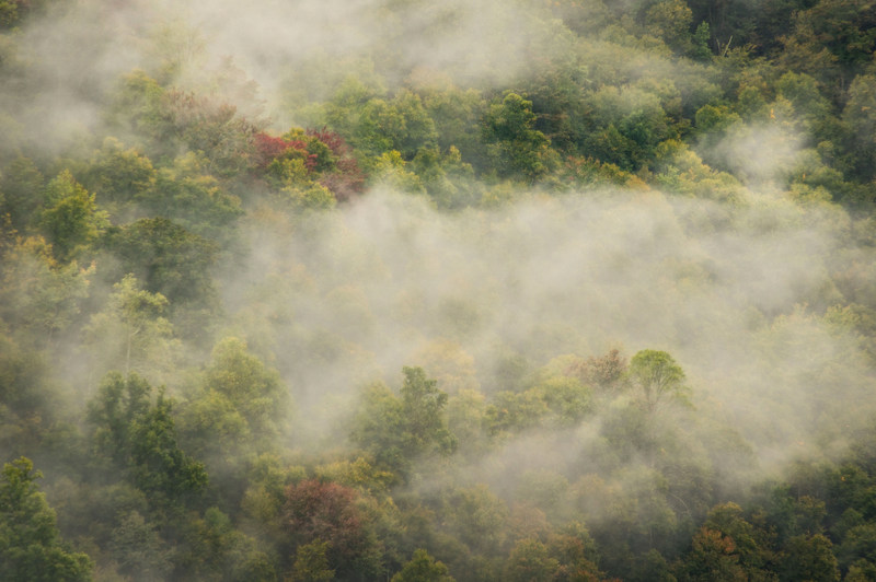
Autumn, therefore, does not simply mean that the sky becomes cloudier. In portions of the southern Appalachians, it is actually the driest season. The mix of weather systems and the kinds of clouds they produce changes.
Summer convection tends to emphasize vertical development. Cumulus clouds can build rapidly upward, sometimes growing into thunderstorms that tower thousands of feet above the landscape. Stable air associated with colder-season weather can instead produce stratiform clouds—broad layers that spread horizontally across large areas.
One of the most familiar is stratus, the low, relatively uniform gray cloud layer responsible for many overcast skies. Unlike the sharply defined towers of summer cumulus, stratus can cover much of the visible sky with little apparent structure. Mountains can bring those clouds down to eye level.
When mountains meet the clouds
When moist air encounters higher terrain, it can be forced upward. Meteorologists call the process orographic lifting, or upslope flow. As the rising air expands and cools, its moisture can condense into clouds.
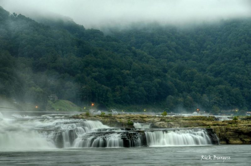
This process occurs in mountain ranges worldwide and is not unique to Appalachia. But the long ridges, deep valleys, and substantial elevation changes of the Appalachian Mountains repeatedly place the landscape in the path of low clouds and moist air.
Under stable atmospheric conditions, the weather service reports that upslope flow often produces “widespread low cloudiness and stratiform precipitation.” It also defines upslope fog as fog that develops when moist, stable air is carried up a mountain slope.
The result is a familiar Appalachian scene—low stratus clouds draped across ridges, summits disappearing into gray, or motorists climbing a mountain highway and suddenly entering fog.
Cloud and fog are essentially the same phenomenon distinguished by where they occur. A low cloud layer that intersects a mountainside becomes fog to someone standing or driving within it. From a valley below, the same moisture may appear as a cloud hanging against the ridge.
At the highest Appalachian elevations, cloud immersion can be common. Research at Mount Mitchell in North Carolina, the highest summit in the Appalachians, found a nearby high-elevation spruce-fir forest immersed in clouds roughly 25 to 40 percent of the time during observations conducted from May through October in the late 1980s.
More recent scientific work describes cloud immersion as a defining feature of high-elevation red-spruce forests in the central and southern Appalachians. Typical cloud bases have been measured at roughly 3,300 to 4,600 feet in the southern mountains, low enough to intersect many of the region’s higher ridges.
Why fall and winter skies look different
The transition from summer to winter is gradual rather than a sudden arrival of gray weather. Clear autumn days remain common, and thunderstorms can occur outside summer. But the ingredients behind the most characteristic summer skies steadily lose influence.
Strong surface heating diminishes as days shorten and the sun sits lower in the sky. Thunderstorms driven by afternoon convection become less frequent, while fronts and larger weather systems play a greater role. When those systems bring moist, stable air, broad cloud layers can replace summer’s vertically developed cumulus.
By winter, the contrast becomes more pronounced. Weather service research on the southern Appalachians describes winter precipitation there as typically stratiform rather than convective, meaning it generally comes from broad cloud layers rather than towering thunderstorms.
The Appalachians do not cause that larger seasonal transformation, but the mountains can make it easier to see. Low clouds encounter ridges. Moist air is lifted along mountain slopes. Cloud layers that would remain overhead in flatter country can intersect the landscape, obscuring summits and reducing visibility along high roads.
The result is a change you can see without knowing anything about meteorology. Summer often builds its most conspicuous clouds upward. As the colder part of the year approaches, the sky increasingly takes on a layered appearance, with stratus, overcast, and fog replacing some of summer’s towering clouds.
The leaves mark the changing season on the mountains. The clouds overhead are responding to it, too.
Read also: The West Virginia farmer that some believed God struck down with lightning