
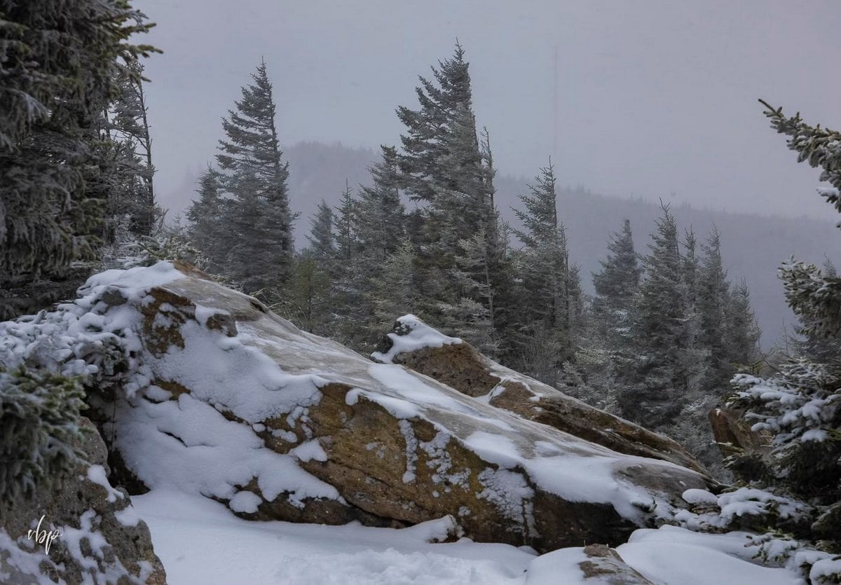
ELKINS, W.Va. — Autumn is just beginning across much of West Virginia, but preparations for winter are already underway in the state’s highest mountains, where recreation facilities in the Monongahela National Forest have begun closing for the season.

The closures reflect a defining characteristic of the Allegheny Mountains of eastern West Virginia: elevation can produce dramatically different weather from that experienced just a short distance away at lower elevations, according to Andrea Brandon, spokeswoman for the forest service.
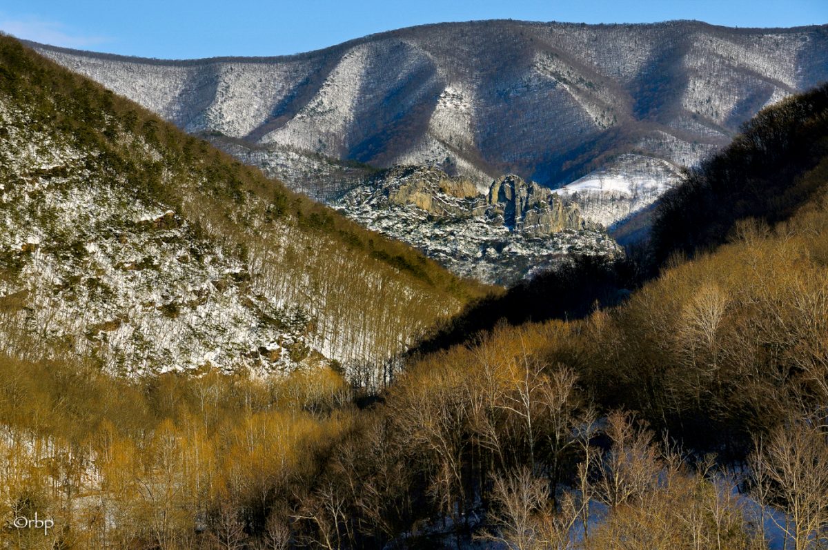
“Weather conditions can vary significantly across the Monongahela National Forest, particularly with elevation,” Brandon told West Virginia Explorer. “Higher-elevation areas may experience substantially colder temperatures, deeper snow, and winter conditions when lower-elevation areas have little or no snow.”
She says that difference matters most for visitors in fall and winter, when conditions in a nearby town may offer little indication of what they will encounter on a mountain.
“Visitors should check conditions for the specific area they plan to visit rather than relying on conditions in nearby towns or lower elevations,” Brandon said.
West Virginia’s high country follows a different winter calendar
The Monongahela National Forest protects much of West Virginia’s high-elevation Allegheny country, where elevation can noticeably alter the rhythm of the seasons. The forest includes some of the state’s best-known mountain landscapes, such as Spruce Knob, Dolly Sods, Cranberry Mountain, and the Highland Scenic Highway.
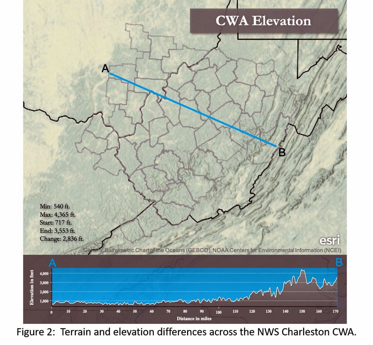
The forest reaches 4,863 feet at Spruce Knob, West Virginia’s highest point. Across the region, elevation creates a colder, snowier environment than in much of the rest of the state.
National Weather Service records show that the state’s mountains and higher elevations typically receive the state’s greatest snowfall, generally ranging from about 30 to 150 inches annually within the agency’s Charleston forecast area. Pocahontas and Randolph counties are among the snowiest areas. Snow can occur as early as October and as late as April or May.
Those conditions help explain why the recreation season winds down well before winter officially arrives, Brandon said.
Seasonal closures in the national forest are determined primarily by weather and conditions at individual sites rather than by a single date across the forest.
“Timing can vary from year to year depending on snowfall, road conditions, and other factors that affect safe access and the forest’s ability to maintain facilities,” Brandon said.
Some sites close while the forest remains open
The end of developed recreation services does not necessarily prohibit visitors from entering areas within the forest.
Most of the Monongahela remains open year-round, though snow can make forest roads inaccessible. At some developed recreation areas, visitors may continue to enter on foot or by bicycle after seasonal services end.
“In many cases, visitors may still access developed recreation areas after seasonal services have ended, provided the area is not otherwise closed, and access is safe,” Brandon said.
However, campground services, trash collection, restrooms, and other amenities may no longer be available, and Brandon cautioned that anyone entering such areas should be prepared for winter conditions.
The distinction matters in a forest where weather can change considerably with elevation.
Visitors can check the Monongahela National Forest alerts page for current closures, restrictions, and road-condition information.
Closures continue through fall and early winter
The forest service’s 2026 schedule illustrates how gradually the recreation season ends across the sprawling national forest.
Horseshoe Recreation Area closed Sept. 14, while several other facilities remain open into October and November. The Cranberry Mountain Nature Center is scheduled to close Oct. 15 and the Seneca Rocks Discovery Center Oct. 17.
Spruce Knob Lake Campground is scheduled to close Oct. 13, while nearby Spruce Knob Observation Tower remains accessible year-round except when roads are snow-covered. Restrooms there close Dec. 1.
At Dolly Sods, Forest Roads 19 and 75 are scheduled to close Jan. 4, 2027.
Elsewhere, many campgrounds, picnic areas and other facilities close Dec. 1, including Red Creek Campground, Laurel Fork Campground, Cranberry Campground and Stonecoal Campground.
Other destinations remain accessible until snow itself closes the road. The Highland Scenic Highway, for example, closes when snow-covered.
Some dispersed camping areas along the Cranberry, Williams and Gandy Creek corridors also remain available beyond the normal developed recreation season, although toilets and other services may close.
Visitors should prepare for conditions on the mountain
The changing access is especially relevant in fall, Brandon said, when visitors may leave relatively mild conditions at lower elevations and climb into substantially colder weather.
Snowfall records show how pronounced that mountain effect can be. At Snowshoe, in Pocahontas County, where the weather station sits at 4,847 feet, the agency recorded 103 inches of snow in January 2010 alone.
For visitors, the practical lesson is not that the Monongahela closes for winter. Much of it does not. The service maintains information on recreation opportunities throughout the national forest, including hiking, scenic drives, camping, and winter recreation.
Instead, the transition means developed services become increasingly limited, roads can become impassable, and conditions at the destination may bear little resemblance to those in the valleys below.
In West Virginia’s highest mountains, winter can arrive long before the calendar says it should.

I taught school in Hillsboro, Pocahontas County the 1971-72 school year.
When I moved there in was told Kinnison Mountain had snow on it from October to May or June. My landlady said the year she married that they had a foot of snow on her wedding day in early June.
That Thanksgiving we had 28″ of snow Wednesday afternoon to Thanksgiving morning!!
I drove to Charleston every weekend I lived there including Thanksgiving. I drove a vw convertible with studded snow tires and several times I plowed snow as I went.
There was 20 miles in the Monongahela Forest where no one plowed the road. Nicholas Co plowed to the Greenbrier Co line and Pocahontas Co plowed to their Greenbrier line. Greenbrier Co had no access to thst 10 miles so it was never plowed!!
Young and foolish snow no matter how deep stopped me or my Volkswagen!!
Wouldn’t do th a t today if I had to!!