
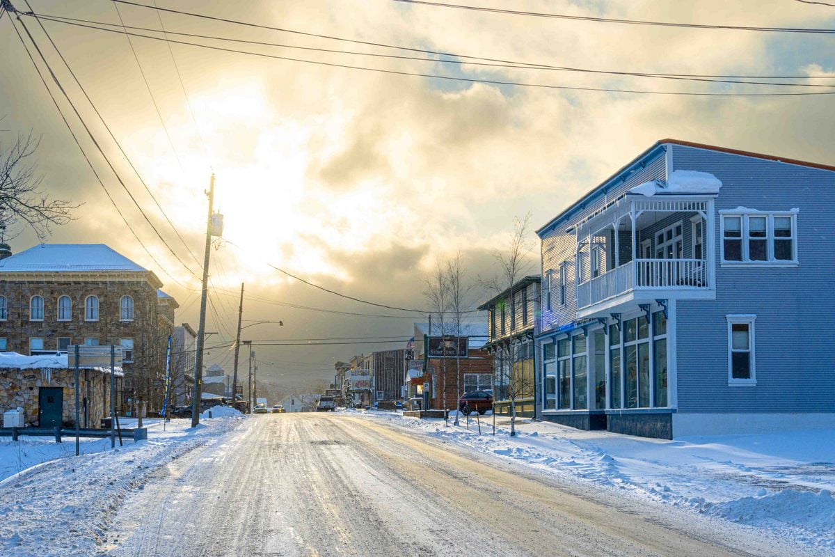
DAVIS, W.Va. — In West Virginia, traveling uphill can sometimes feel like traveling north.

The state’s 10 highest incorporated communities all stand more than 2,400 feet above sea level, high enough that elevation can help shape not only their summers, but the rhythm of the seasons around them.
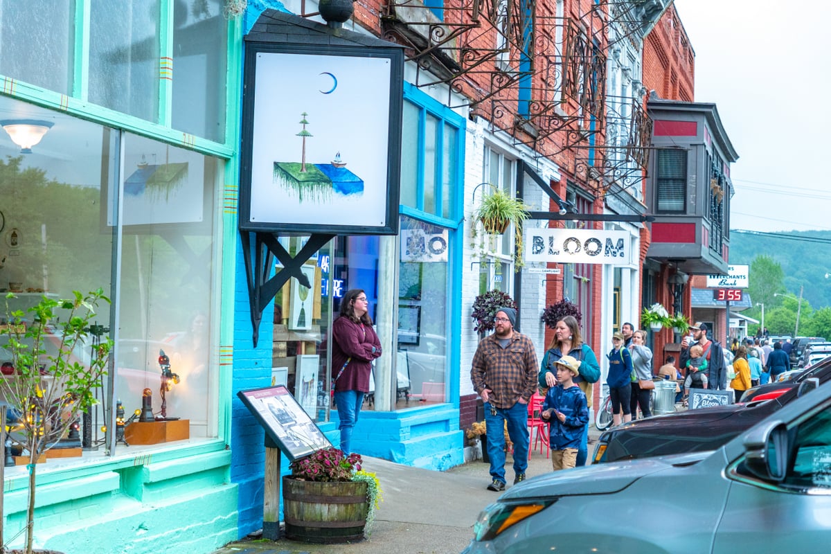
In the high country near Davis, summers can be remarkably mild, while winters can produce extraordinary amounts of snow. Autumn color generally reaches West Virginia’s highest elevations first, while freezing temperatures can linger later into spring.
But the state’s highest communities aren’t all clustered in the snowy Alleghenies. Six of the 10 are in southern West Virginia, including three in Mercer County and one Greenbrier County town that stands almost as high as Davis and Thomas.
In a state where river towns and mountain communities can be separated by thousands of feet of elevation, the seasons don’t always arrive everywhere at once.
What are West Virginia’s 10 highest incorporated communities?
This ranking includes only incorporated West Virginia municipalities. It excludes unincorporated communities and census-designated places, such as Snowshoe Mountain, a resort community, which is a development rather than an incorporated community.
Elevations refer to the standard published elevation for each community, not necessarily the highest point within its corporate boundaries.
| Community | Elevation |
|---|---|
| Davis | 3,100 ft. |
| Thomas | 3,034 ft. |
| Quinwood | 3,015 ft. |
| Durbin | 2,742 ft. |
| Bluefield | 2,631 ft. |
| Athens | 2,582 ft. |
| Terra Alta | 2,582 ft. |
| Rupert | 2,440 ft. |
| Meadow Bridge | 2,431 ft. |
| Princeton | 2,431 ft. |
Davis is No. 1, and its high country has an unusual climate
Davis holds the top spot at about 3,100 feet. West Virginia identifies the Tucker County town as its highest municipality and lists its elevation at approximately 3,101 feet.

A weather station southeast of Davis is even higher, at 3,715 feet, so its observations should not be interpreted as measurements from downtown Davis. They do, however, provide a long-term record of conditions in the surrounding high Allegheny country.
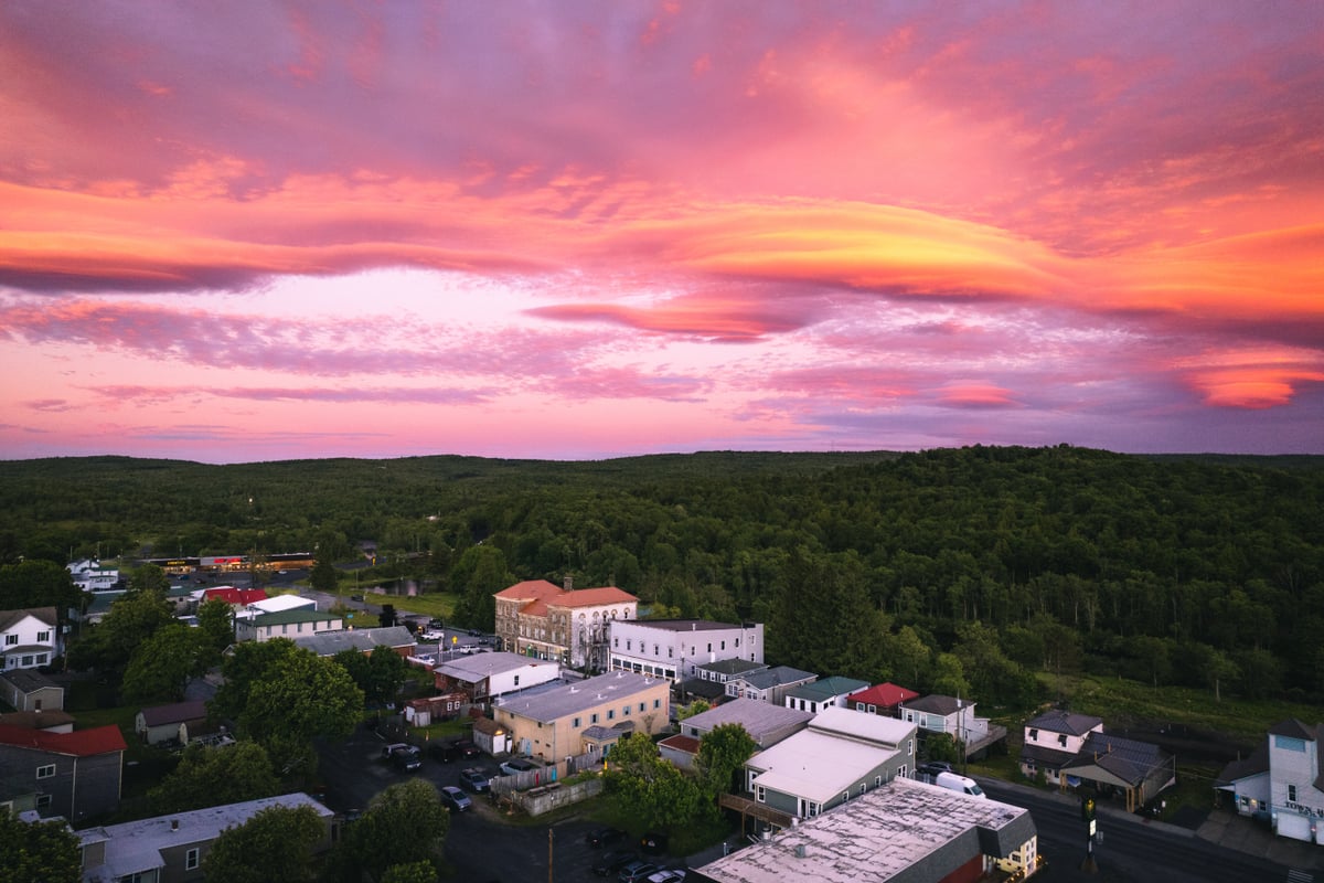
Under NOAA’s 1991–2020 Climate Normals, the station’s normal July daily high is approximately 75 degrees, while its normal nighttime low is about 57.
The difference becomes especially apparent when Davis is compared with Parsons in the valley below. At a station at about 1,775 feet, the normal July high exceeds 83 degrees. The stations differ by roughly 1,940 feet in elevation and nearly eight degrees in their normal July afternoon temperatures.
Winter reveals an even more dramatic side of the high country. The Davis station averages 170.2 inches of snow annually, including 45 inches in January and 43.1 inches in February. Its snowfall season can also stretch beyond the months many West Virginians associate with winter: the normal includes 5.5 inches in October and 10.6 inches in April.
Because the Davis and Parsons stations occupy different terrain and locations, their differences cannot be attributed solely to elevation. Latitude, exposure, terrain, wind, and other factors also influence local climate.
The observations nevertheless show how conditions can change as West Virginia rises from its river valleys into the high Alleghenies.
Thomas is almost as high
A few miles from Davis, Thomas ranks second at slightly more than 3,000 feet.
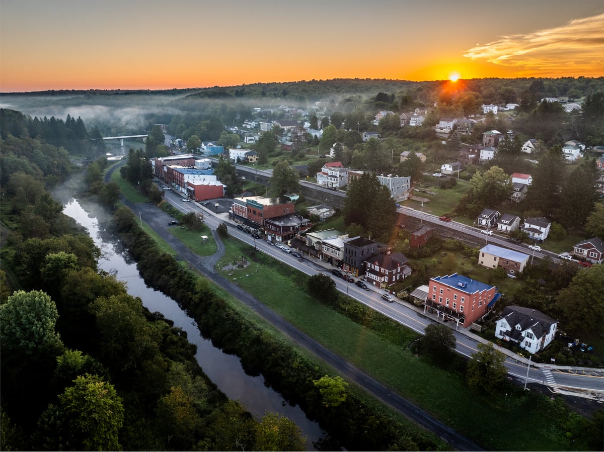
The City of Thomas gives its elevation as approximately 3,035 feet, leaving only about 65 feet between the standard published elevations of Thomas and Davis.
Both sit in the high Allegheny landscape of Tucker County, which includes some of West Virginia’s highest terrain.
The small difference between their published elevations is not enough on its own to establish a meaningful climatic difference. It does, however, place both municipalities in a category occupied by only one other incorporated West Virginia community.
Quinwood is the surprise at No. 3
That third community is Quinwood in western Greenbrier County, about 100 miles south of the high Alleghenies. Though still in the Alleghenies, the town climbs along either side of a pass near their southern extent.
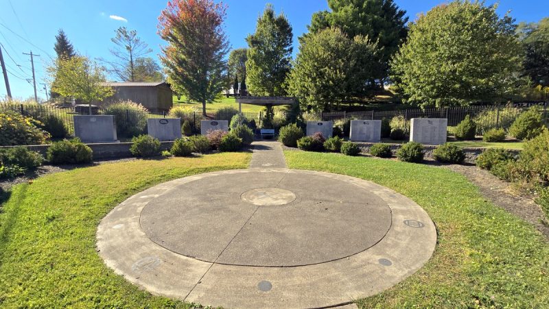
At approximately 3,015 feet, Quinwood is almost as high as Thomas and only about 85 feet below Davis. The town is also closest to the lower Greenbrier Valley and Lewisburg, as well as the New River Gorge.
Quinwood, along with Davis and Thomas, is one of West Virginia’s only incorporated communities at approximately 3,000 feet or higher. It is surrounded on all sides by three peaks—Buck Knob, Allen Knob, and Peaser Knob.
Durbin ranks fourth
Durbin, along the upper Greenbrier River in Pocahontas County, ranks fourth at about 2,742 feet.

That leaves a noticeable elevation gap between West Virginia’s three approximately 3,000-foot municipalities and the rest of the ranking.
Durbin nevertheless stands hundreds of feet above many communities commonly associated with West Virginia’s mountain country and occupies one of the Allegheny Mountains’ high valleys.
Nearby Bartow is slightly higher, at about 2,770 feet, but it is not an incorporated municipality and therefore does not qualify for this ranking.
Bluefield’s lemonade tradition has climate data behind it
Bluefield ranks fifth at approximately 2,631 feet, and its reputation for mild summers has been part of the southern West Virginia city’s identity for generations.
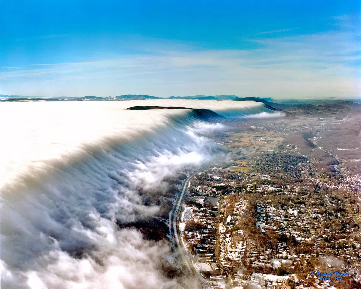
The city has long promoted itself as “Nature’s Air-Conditioned City,” and its famous free-lemonade tradition is tied directly to unusually hot weather. The city distributes free lemonade when the official temperature at Mercer County Airport reaches 90 degrees.
The promotion dates to 1939, when Chamber of Commerce manager Eddie Steele proposed using the relative rarity of 90-degree heat to call attention to Bluefield’s summer climate.
NOAA’s 1991–2020 normals help explain the tradition. The Bluefield-Mercer County Airport weather station sits at 2,870 feet. Its normal July daily maximum is 78.9 degrees, its daily minimum is 61.8 degrees, and its monthly mean is 70.3 degrees.
The station averages only one day at or above 90 degrees during July and 2.4 such days during the entire year.
Bluefield’s elevation does not mean winter passes it by. The airport station averages 34.6 inches of snow annually, far below the amount recorded in the high country near Davis but substantial enough to illustrate the city’s four-season mountain climate.
Athens and Terra Alta share an elevation
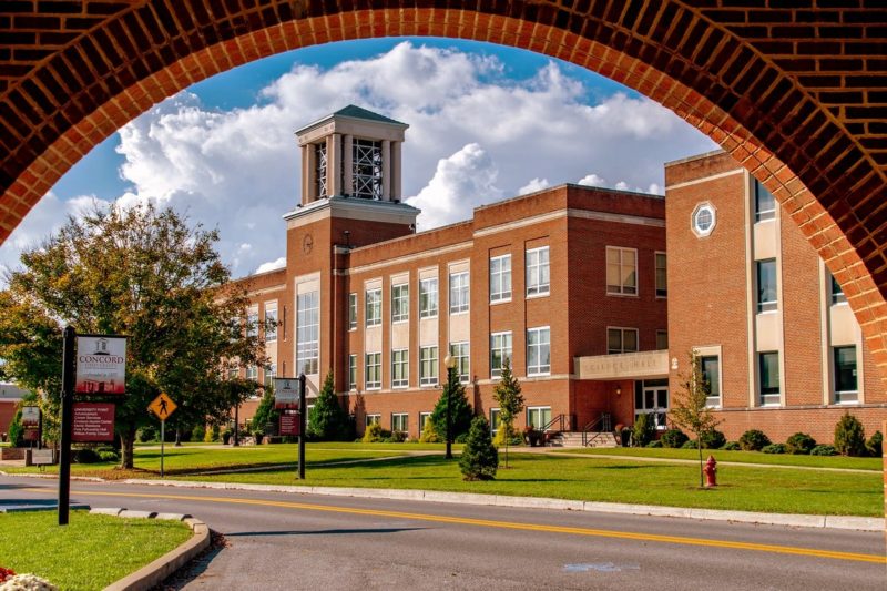
Athens in Mercer County and Terra Alta in Preston County are both listed at approximately 2,582 feet, tying them for sixth place.
Geographically, however, the two communities are far apart. Athens lies in southern West Virginia near Princeton and the Virginia border, while Terra Alta lies in Preston County near the Maryland border.
Their shared elevation illustrates why this ranking should not be interpreted as a ranking of temperatures, snowfall, or climate. Latitude and regional weather patterns can differ substantially even when elevations are nearly identical.
Rupert ranks eighth
Rupert, in western Greenbrier County, ranks eighth at approximately 2,441 feet.
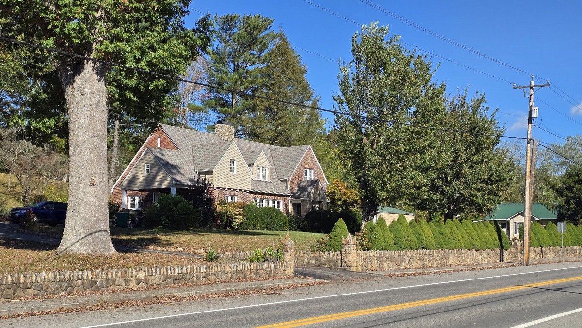
Its appearance among the state’s highest municipalities may be less expected than that of communities such as Davis, Thomas, or Durbin because Rupert lies outside the high-elevation tourism areas most commonly associated with the Alleghenies. However, Rupert is increasingly becoming a tourism crossroads, positioned between the Greenbrier Valley, the Monongahela National Forest, and the New River Gorge National Park and Preserve.
Rupert and nearby Quinwood give Greenbrier County two communities among West Virginia’s 10 highest.
Meadow Bridge and Princeton complete the top 10
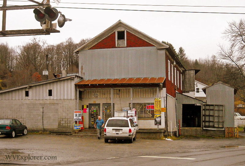
Meadow Bridge in Fayette County and Princeton in Mercer County are both listed at approximately 2,431 feet.
Because Athens and Terra Alta are tied above them, Meadow Bridge and Princeton share the ninth-highest elevation rank while occupying the ninth and 10th positions among the 10 individual communities.
Their inclusion produces one of the ranking’s most surprising results. Six of the 10 communities are in southern West Virginia—Quinwood, Bluefield, Athens, Rupert, Meadow Bridge and Princeton. Mercer County alone accounts for three.
High-elevation municipal settlement in West Virginia, in other words, extends well beyond the northeastern mountains.
In West Virginia, the seasons move up and down the mountains
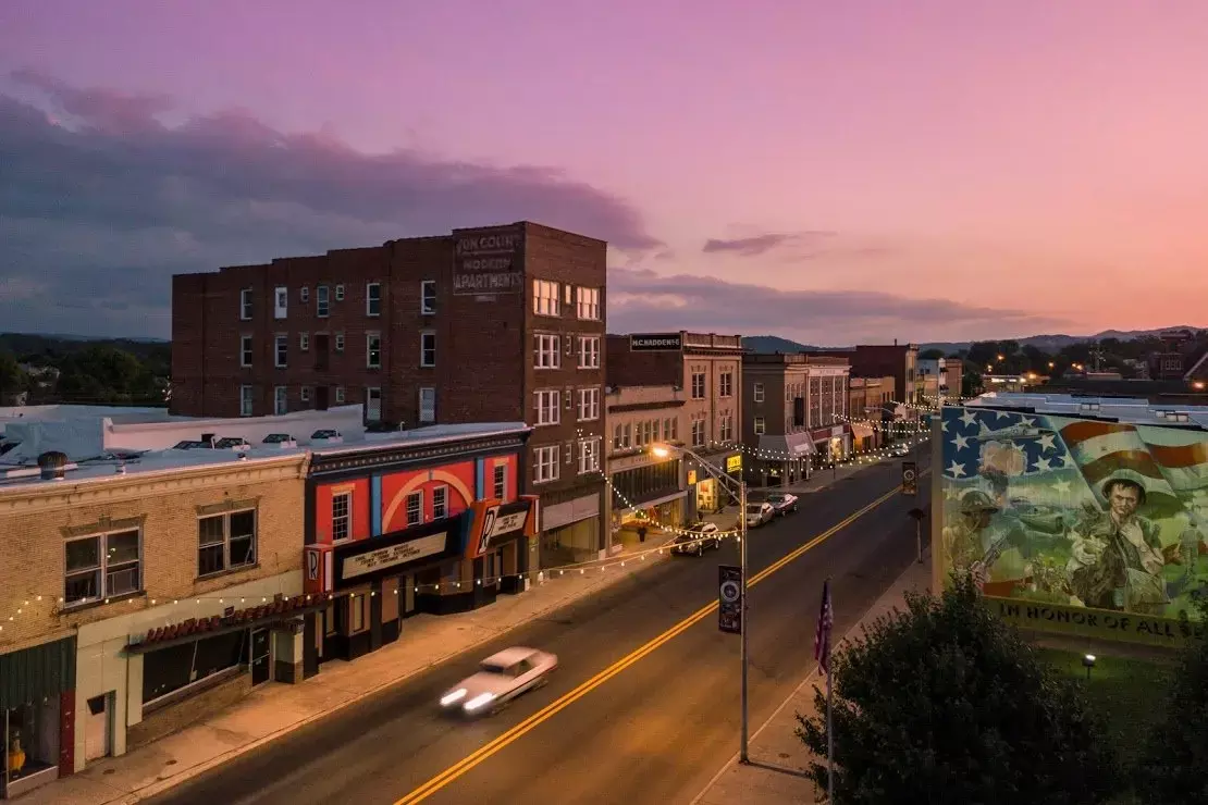
Elevation can affect more than the temperature on a summer afternoon. West Virginia’s large altitude differences help create a seasonal progression that travelers can sometimes follow across its mountains and valleys.
Autumn provides perhaps the most visible example. The W.Va. Department of Tourism and W.Va. Division of Forestry have reported color appearing first in the highest elevations before progressing into lower country. The state’s range of elevations can stretch fall foliage viewing opportunities across nearly an entire month.
Spring presents the other side of the same geography. High mountain environments can retain colder conditions later into the year and return to freezing conditions earlier in autumn than warmer locations.
The high country around Canaan Valley provides an especially striking example. A U.S. Department of Agriculture description of the Canaan Valley soil region, at elevations of roughly 3,150 feet, lists a frost-free period ranging from only about 90 to 148 days.
Don’t apply those conditions automatically to every community in this ranking. Instead, they show how compressed the warm season can become in some of West Virginia’s highest terrain.
What does 3,000 feet change?
Temperature generally decreases with elevation, which helps explain why a trip from a West Virginia river valley into the mountains can sometimes produce a noticeable change without traveling far north or south.
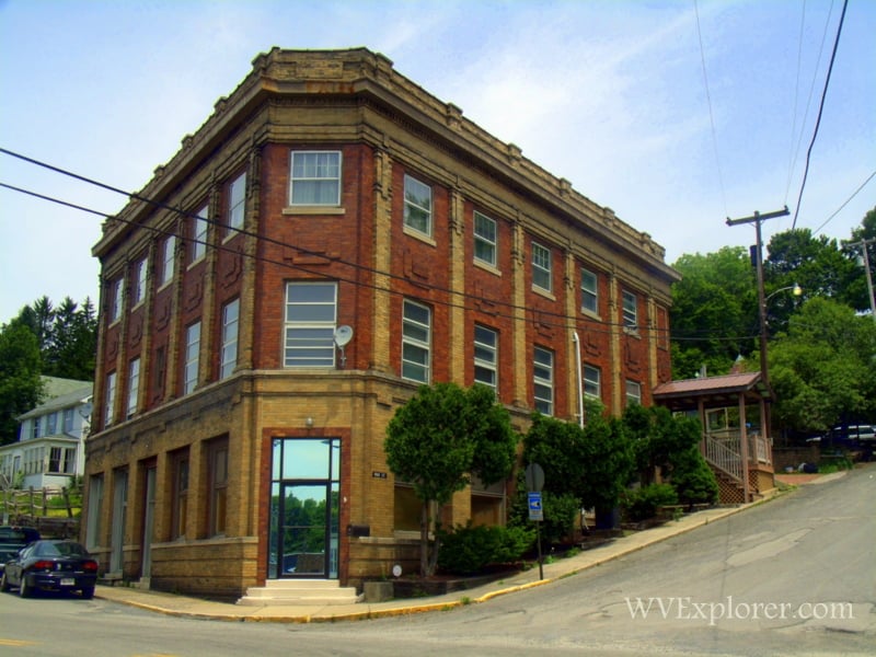
Charleston provides an easy reference point. The capital lies at roughly 600 feet along the Kanawha River, while Davis stands approximately 2,500 feet higher. Using the average environmental lapse rate of about 3.5 degrees per 1,000 feet, that vertical difference represents an illustrative temperature effect of about 9 degrees.
That doesn’t mean a 90-degree afternoon in Charleston guarantees a temperature near 81 in Davis. Cold air can settle into valleys, while latitude, slope orientation, vegetation, clouds, humidity, wind, and weather systems can alter or occasionally reverse the temperature relationship expected from elevation.
That’s also why West Virginia’s 10 highest municipalities are not necessarily its 10 coldest or snowiest.
Davis and Thomas combine elevations above 3,000 feet with their location in the northeastern Alleghenies. Quinwood stands almost as high but lies considerably farther south. Terra Alta is several hundred feet lower than Quinwood but much farther north.
Bluefield makes the distinction especially clear. Despite its location near West Virginia’s southern border, the NOAA’s high-elevation airport station has a normal July high below 80 degrees and averages fewer than three days of 90-degree heat in an entire year. Yet its annual snowfall is only a fraction of that recorded in the high country near Davis.
Determining West Virginia’s coldest, snowiest, or coolest incorporated communities would therefore require separate analyses using comparable long-term weather observations, not elevations alone.
Elevation can give travelers a longer season
West Virginia’s vertical geography can have a practical advantage for travelers. In summer, gaining elevation can mean leaving a hot river valley for a cooler afternoon in the mountains. In autumn, travelers can follow foliage as color develops first in the highest country and later at lower elevations. In winter, relatively short drives can lead to substantially different snow and temperature conditions.
The effect means West Virginia’s highest communities don’t simply offer cooler places to visit in July. They demonstrate how the state’s vertical geography can rearrange the calendar.
In West Virginia, traveling north isn’t the only way to change seasons. Sometimes, you can just travel uphill.
What about Beckley?…2422 on the Raleigh County courthouse building downtown! Harper rd./Rt 3 area near WV turnpike even higher.