
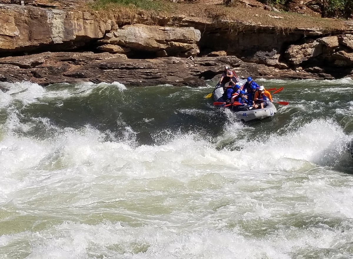
For several weekends each fall, scheduled releases from a dam in West Virginia’s mountains transform the Gauley River into a powerful whitewater run that draws rafters and kayakers from across the United States and beyond.
The event is known as Gauley Season, when water released from Summersville Lake surges through a rugged Appalachian gorge filled with enormous sandstone boulders, steep drops, and powerful rapids. The combination of challenging whitewater and relatively predictable autumn flows draws rafters and kayakers from far beyond West Virginia.
The principal whitewater corridor lies within the Gauley River National Recreation Area, north of the New River Gorge National Park and Preserve. Over 25 miles, the river drops more than 668 feet and encounters more than 100 rapids.
What is Gauley Season?
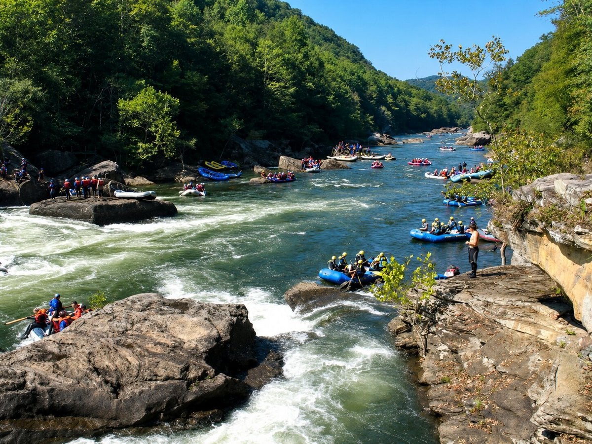
Gauley Season is the annual fall whitewater season created by scheduled releases from Summersville Dam, generally beginning in September and continuing into October.
The U.S. Army Corps of Engineers manages water levels at Summersville Lake, and the releases occur as part of that management. Below the dam, the additional water produces the high-volume flows for which fall rafting on the Gauley has become famous.
That predictability is part of what makes the season unusual. Mountain rivers often depend heavily on recent rainfall, but Gauley Season gives boaters scheduled periods when substantial flows are expected.
Because release dates and river conditions vary from year to year, visitors planning a trip should check the current release schedule before traveling.
Why does the Gauley produce such powerful whitewater?
Water released from Summersville Dam explains only part of the story. The river’s shape does the rest.

The Gauley descends rapidly through a narrow, rocky gorge, where it encounters ledges, constrictions, and massive sandstone boulders. Over its protected 25-mile stretch, it loses more than 668 feet in elevation.
When large volumes of water move through that terrain, they create steep chutes, large waves, hydraulics, and technically demanding passages.
Several of the Upper Gauley’s best-known rapids are collectively known as the Big Five: Insignificant, Pillow Rock, Lost Paddle, Iron Ring, and Sweet’s Falls.
Their names have become part of the culture surrounding Gauley Season. At Pillow Rock, one of the river’s most recognizable features, rushing water is forced against a massive sandstone boulder as rafts negotiate the rapid around it.
Upper Gauley vs. Lower Gauley
Most commercial rafting trips divide the main whitewater run into two sections: the Upper Gauley and the Lower Gauley.
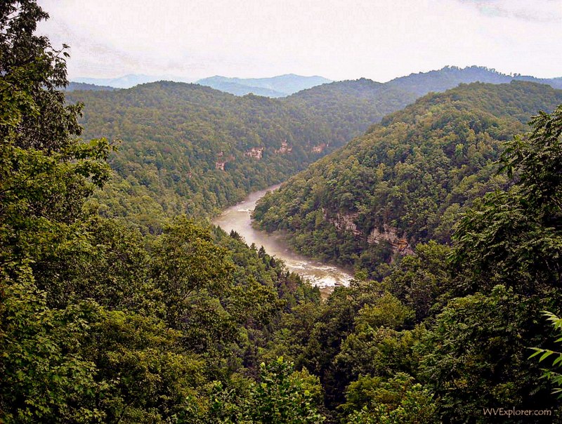
The Upper Gauley begins below Summersville Dam and contains the river’s most difficult whitewater. The National Park Service rates its rapids from Class III to V+, including Pillow Rock, Lost Paddle, Iron Ring, and Sweet’s Falls.
The Lower Gauley is approximately 12 miles long and contains Class III to V whitewater. Pools between some of its major rapids provide more recovery time than on the Upper, but the Lower should not be mistaken for an easy river.
For those unfamiliar with whitewater classifications, Class V represents expert-level whitewater with powerful currents, difficult maneuvers, and significant hazards. Commercial outfitters offer guided trips for visitors who would not attempt such a river independently, but choosing between the Upper and Lower Gauley should still be taken seriously.
How difficult is the Gauley River?
The Gauley is a powerful river, and its difficulty is part of what has made it so well known.
The National Park Service advises that the Gauley’s complex rapids should not be attempted by private boaters without a high degree of skill, confidence, and appropriate experience. Many visitors instead experience the river through commercial rafting outfitters familiar with its rapids and changing conditions.
Minimum ages and other requirements can vary by section, outfitter, and river conditions. Anyone considering a commercial trip should confirm current requirements directly with the outfitter before booking.
Conditions also matter. River levels, weather, and water temperature can affect a trip’s character, even during scheduled releases.
Where is the Gauley River?
The Gauley River flows through the Appalachian Mountains of West Virginia in the eastern United States.
The famous whitewater section begins immediately below Summersville Dam near Summersville and continues through a largely undeveloped gorge toward the small community of Swiss. Farther downstream, the Gauley joins the New River at Gauley Bridge, forming the Kanawha River.
U.S. Route 19 is the principal highway through the tourism region, connecting Summersville with Fayetteville and Beckley to the south. The Gauley River National Recreation Area lies near the New River Gorge National Park and Preserve, allowing visitors to combine a rafting trip with hiking, climbing, sightseeing, and other outdoor recreation.
Can you experience Gauley Season without rafting?
Yes. Visitors do not need to climb into a raft to experience Gauley Season.
One of the easiest places to watch the action is the tailwaters area below Summersville Dam, where boaters launch into the river. From there, rafts and kayaks quickly disappear into the gorge.
Other locations along the river offer whitewater views, though steep terrain limits access. Much of the Gauley flows through a forested landscape, with relatively few roads reaching the river.
That isolation is part of the river’s character. Within a short distance of Summersville Dam, cliffs, forest, and enormous sandstone formations dominate the landscape, with comparatively little development visible from the water.
Planning a Gauley River rafting trip
Summersville and Fayetteville are the primary communities travelers use as bases for Gauley River rafting trips.
Summersville is closest to the dam and the start of the Upper Gauley. Fayetteville, farther south on U.S. 19, is a hub for outdoor recreation linked to New River Gorge National Park and Preserve. Lodging throughout the region includes hotels, cabins, campgrounds, and outdoor resorts.
Commercial outfitters offer trips on the Upper and Lower Gauley, as well as longer excursions that combine sections of the river. Trip lengths, transportation, minimum ages, and other requirements vary, so visitors should compare individual trips rather than assuming every Gauley rafting experience is the same.
Reservations are especially important during Gauley Season. Visitors should check the current release schedule, river conditions, and weather before traveling, and ask their outfitter what clothing and equipment are appropriate for expected conditions.
Private boaters should also review current National Park Service information on river access, parking, and safety before launching.
Find hotel lodging: Summersville, Fayetteville, Beckley.
Why is it called the Gauley River?
For a river so well known, the origin of the name Gauley is surprisingly difficult to establish.
Many American rivers carry names from Indigenous languages, early settlers, European places, or obvious landscape features. Gauley does not yield its history so easily. Several explanations for the name have circulated, but the documentary record leaves room for uncertainty.
The mystery reaches back to early European exploration and settlement in the central Appalachian Mountains and has inspired competing explanations for generations.
Today, however, the word Gauley has taken on another meaning. For a few weeks each fall, it signifies something immediately recognizable in the whitewater world: a remote West Virginia gorge, a scheduled water release, and some of the most challenging rapids in the eastern United States.
Read also: How did West Virginia’s Gauley River get its unusual name?
Map of Gauley River Rafting Area