Faculty and students from Shepherd University will travel to Randolph County over the next five years, where they will use the school’s drone fleet to help the U.S. Forest Service reclaim strip-mined land in the Monongahela National Forest, according to school officials.

Through a five-year agreement with the service and the Shepherd Entrepreneurship and Research Corporation, students will use the drones to map projects on forest land known as the Mower Tract on Cheat Mountain while students in forestry management classes provide eyes on the ground.
“We have a lot of different opportunities here,” said Jack Tribble, forest service district ranger for the Greenbrier Ranger District.
“In the last year, the Forest Service has worked with West Virginia Division of Natural Resource and Ruffed Grouse Society to create new habitat. We would like to fly that habitat to see how it’s looking.”
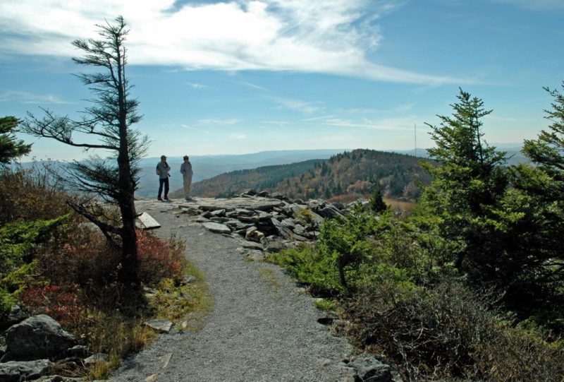
The Mower Tract has approximately 40,000 acres of national forest land that was purchased from the Mower Land and Lumber Company in the early 1980s. Tribble said approximately 2,000 acres had been mined and about 700 acres have been restored, so work needs to be done on about 1,300 more.
“In anticipation of working with the Forest Service, over the last year we have been bending our remote sensing and GIS programs to look at agricultural forestry resource management as a primary discipline,” said Steven Shaffer, lecturer of environmental studies.
“Participating gives students the ability to understand how data analysis can make a difference and can be used for real, practical, and impactful science.”
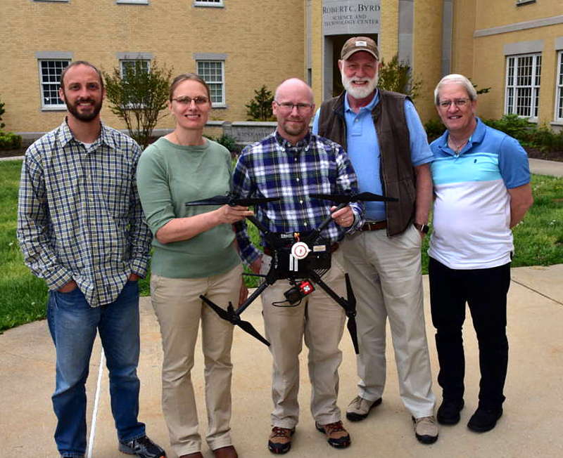
Shaffer and Dr. Sytil Murphy, associate professor of physics, are Shepherd’s drone pilots.
“The connections across the programs are huge,” Murphy said. “This brings together disciplines such as remote sensing, data analytics, wildlife management, and forestry.”
Shaffer and Murphy will take students to fly the drones while students in Professor Josh Vance’s Forestry Management class will verify on the ground what the drones are recording.
“The overall goal is to give the forest service a technique and data that they don’t have right now and to provide them with aerial photography to help them better manage their forest,” Vance said.
“Shepherd students will get a good educational experience. They’ll learn how to collect, interpret, and crunch data that they’ll be able to use in their senior capstone project.”
In addition to collecting data with the drones, Tribble said students will use computer labs at Shepherd to interpret LiDAR data the forest service has collected.
Over the past three years, students in Vance’s class have gone on two-day field trips to the Greenbrier Ranger District, where they have gained experience in the practical applications of what they’re learning in class.
“Going up there every year is something the students really love,” said Vance, who is also a West Virginia Division of Natural Resources wildlife manager.
“They like getting up in the mountains and seeing how what they learn in class is applied and is directly making a difference to the environment in a landscape that was altered by coal mining.”
Vance said the service is working to restore the historical native ecosystem, which includes unique wildlife species that don’t occur anywhere else in the state.
“Some of these areas are historically red spruce forest,” Vance said.
“That ecosystem is more common in Canada than it is in the Appalachian range. There were strip mining activities throughout the 1960s to 1980s. When the mine companies did the reclamation work, there was soil compaction and many of the species planted were not native.”
Shepherd owns three of the drones used in the program—a DJI Phantom 3 Advanced that offers full-color mapping, still images, and videos; a DJI Mavic 2 Pro Zoom that shoots cinematography with a 2x zoom; and a DJI Matrice 100 with night vision that creates multi-spectral scientific maps.
Shaffer owns three additional drones—a DJI Phantom 4 Advanced for full-color mapping, still images, and videos; a DJI Mavic Air for cinematography; and a Ryze Telo used for flight training.
Shepherd also has a pair of DJI high-definition digital video goggles that allows the wearer to see the view through the drone’s camera.