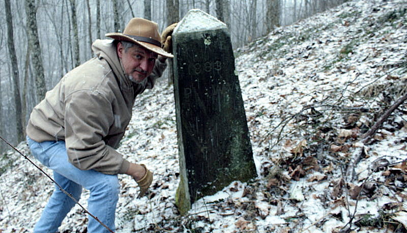
GEORGE TOWN, W.Va. — Finding the monument on a map is difficult enough. Finding it in the steep woodlands is even more challenging. But on a remote hillside at the southeast corner of Marshall County stands a weathered monument that establishes West Virginia’s singular northern panhandle.
Some say it’s a place that at least every panhandle resident should see. But its importance to the panhandle is the least of its charms: it’s also the western end of the Mason-Dixon Line and the southern end of the lesser-known “Ellicott Line,” which is the western boundary of Pennsylvania.
Andrew Ellicott, later a planner of Washington, D.C., walked across this hill in 1779 while completing the work of his predecessors, Charles Mason and Jeremiah Dixon, who had stopped running the line westward three years before to avoid hostile native tribes.
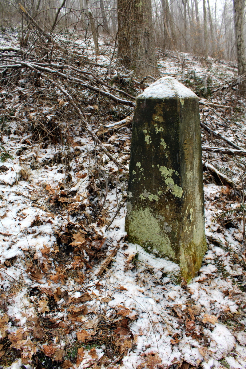
The short stone obelisk that marks the corner today is inscribed “1883, ” meaning it’s only 130 years old, so it’s not the first monument. The first monument was likely raised around 1779 when Ellicott surveyed the line, which leaves the east-west Mason-Dixon line at a right angle and extends more than 150 miles northward to Lake Erie.
The Ellicot line was a vital boundary and ended years of argument between Virginia and Pennsylvania, which had long fought over westward settlements. The charters for both colonies expressed that they extended west without practical limits. Still, Virginia settlers enjoyed more access to western Pennsylvania because of the number of passes that crossed the Appalachian Mountains in Virginia.
Once Ellicot’s line was complete, the two commonwealths — now no longer colonies — reached an agreement that satisfied both. Pennsylvania ceded its land beyond the line to Virginia. This meant Virginia was given more control of the lower Ohio River. At the same time, Pennsylvania retained the upper river and the strategic confluence of the Allegheny and Monongahela rivers, now present-day Pittsburgh.
Only six years later, Virginia, too, decided to cede its land beyond the Ohio River to the new U.S. government, though it retained the slip of land now known as the panhandle. It became West Virginia’s northern panhandle 78 years later during the Civil War when its counties voted to become a part of the new union-loyal state.
“And that’s how we ended up with this strange-looking panhandle wedged between Ohio and Pennsylvania,” says historian Travis Henline, a specialist in the period’s history.
“Before the Revolutionary War, things were growing pretty heated in western Pennsylvania, but the line solved all that.”
Outdoor recreation specialist Jesse Mestrovic thinks the monument could be developed as an educational resource like the 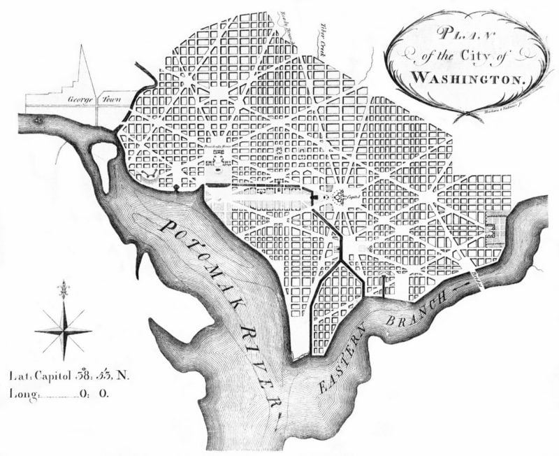 Ellicott’s “Plan of the City of Washington” revised from Pierre Charles L’Enfant; 1792 – Library of Congress[/caption]
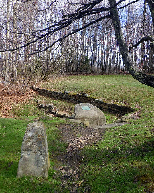
“This monument should serve equal importance to the Fairfax Stone Historical State Park, which is now managed by Blackwater Falls State Park,” he said.
Programs are available to benefit local governments and property owners who develop, protect, and maintain such sites. West Virginia communities such as Beckley have established trails to similar historic landmarks in cooperation with private landowners.
For now, the monument remains undeveloped on private land, and visitors should seek access from the property owner before visiting. The monument is located at coordinates 39.7216044, -80.5183442.
More information on the monument may be found at Waymarking.com.
Strange carvings greeting early West Virginia explorers
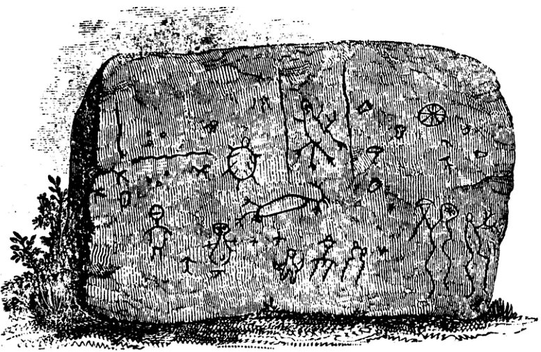
When pioneers and other explorers first ventured into what would become West Virginia, they encountered artifacts of a much earlier age—carvings, burial mounds, and stone walls, the origins of which natives could not explain with certainty. Petroglyphs featuring human and animal figures were perhaps the most striking and inexplicable finds. Mounds and earthworks could be considered defensive or monumental, but carvings? Read the full story here.
Sign up to receive a FREE copy of West Virginia Explorer Magazine in your email weekly. Sign me up!
I was recommended this website by my cousin. I am no longer sure whether this post is written by way of him as nobody else realize such certain about my difficulty. You’re amazing! Thank you!