Charleston, West Virginia, is the capital and largest city of the Mountain State, located where the Elk River flows into the Kanawha River in the forested hills of the central Appalachian Mountains.

The seat of state government and a regional center for business, medicine, culture, and transportation, it combines the amenities of a capital city with unusually quick access to the outdoors. Its gold-domed state capitol rises beside the Kanawha River, while downtown restaurants, shops, museums, performance venues, and historic neighborhoods fill the narrow valley and surrounding hills.
For visitors, the city is also a convenient base for exploring western and central West Virginia. Three interstate highways converge in the area, and Kanawha State Forest—a 9,300-acre public forest with more than 60 miles of hiking and biking trails—is just seven miles from the city.
Visiting Charleston
Much of the city’s visitor activity is concentrated in two areas—downtown and the state capitol complex east of downtown. Between them, Kanawha Boulevard follows the north bank of the Kanawha River and offers one of the city’s defining views.
The West Virginia State Capitol is Charleston’s most recognizable landmark. Nearby are the West Virginia State Museum and other attractions within the Capitol complex. Downtown, historic Capitol Street forms the center of a walkable restaurant, shopping, and entertainment district, while the Clay Center for the Arts & Sciences presents performing arts, exhibitions, and educational programs.
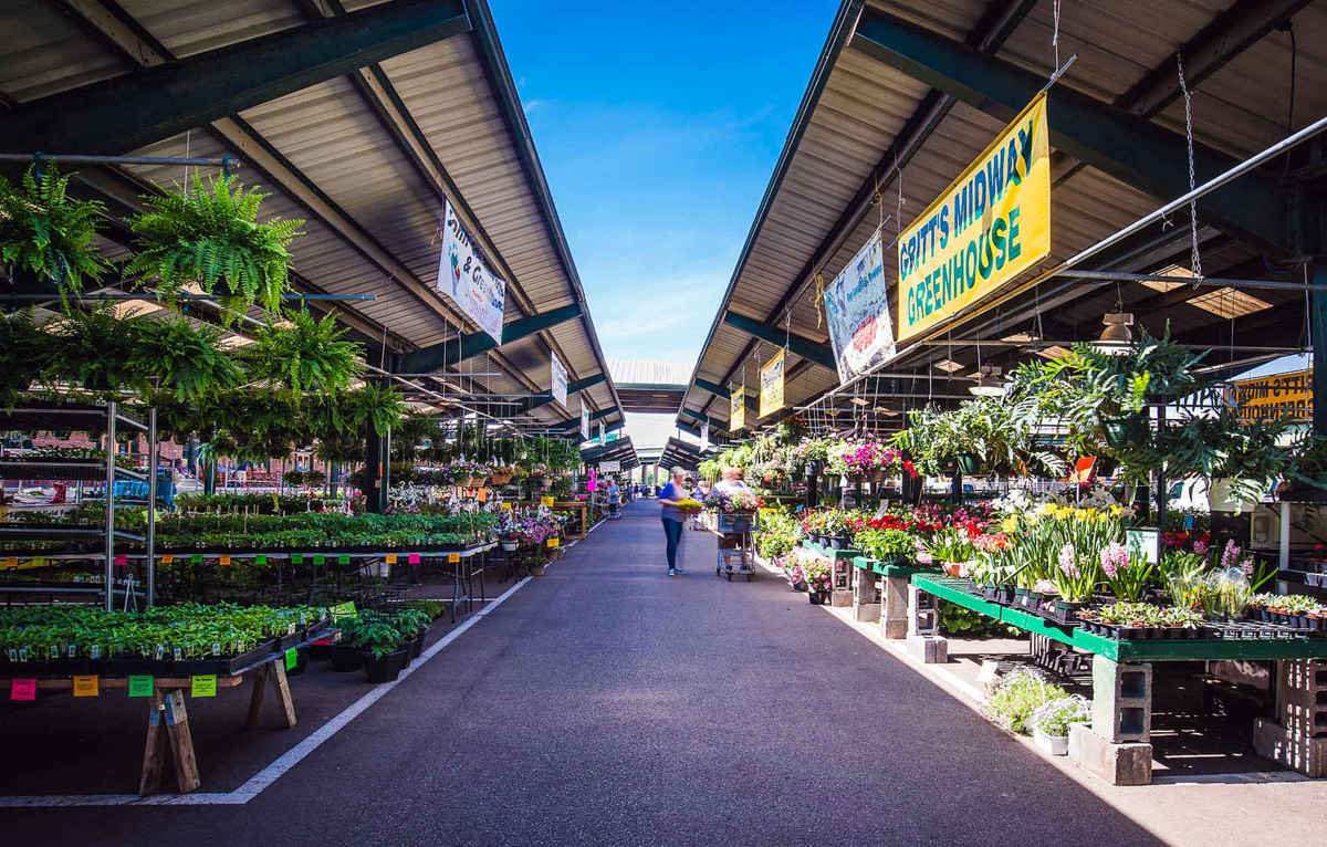
Capitol Market, developed on a former railroad site, has become another popular downtown destination, with indoor merchants and a seasonal outdoor market. Festivals and public events are frequently held downtown and along the riverfront.
Charleston also has an advantage unusual for a state capital: the Appalachian countryside begins almost at the city’s edge. Kanawha State Forest includes trails for hikers and mountain bikers, as well as camping, picnicking, wildflowers, and birding. State park officials say 19 species of wood warblers use its richer forest habitats for nesting.
Geography
Charleston developed at the confluence of the Elk and Kanawha rivers, a location that has shaped the city for more than two centuries. The Kanawha flows west through a narrow valley toward the Ohio River, while wooded hills rise steeply from many parts of the city.

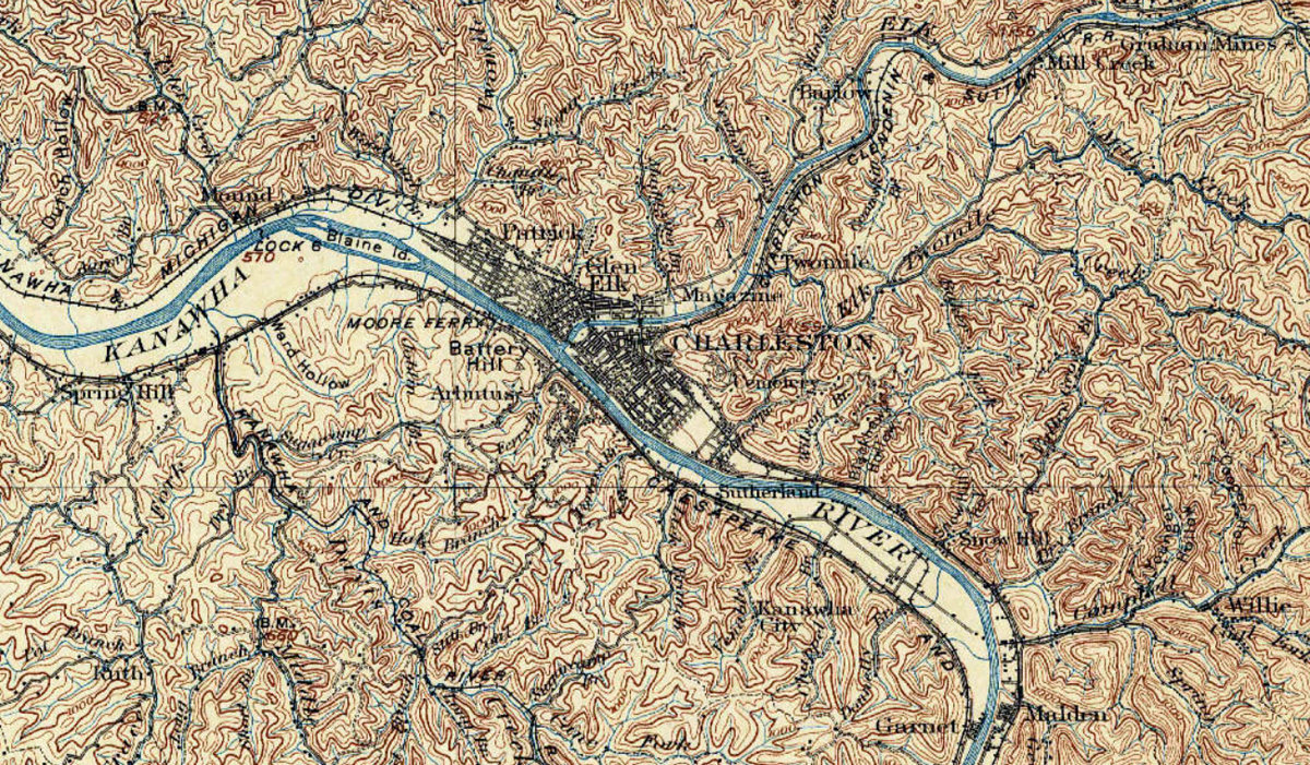
That geography explains much of Charleston’s appearance. Downtown occupies relatively level land along the rivers, while residential neighborhoods climb the surrounding slopes and extend into tributary valleys and hollows.
The rivers were once even more important for everyday travel. Before bridges were commonplace, ferries carried people across the Elk and Kanawha. River transportation later connected Charleston with communities downstream along the Ohio River and ultimately with the larger national transportation network.
Charleston encompasses about 31.5 square miles. The 2020 U.S. Census counted 48,864 residents, and the Census Bureau estimated the population at 46,117 in 2025.
Map of Charleston, West Virginia
West Virginia State Capitol
The state capitol and its gilded dome dominate the riverfront east of downtown, giving Charleston one of West Virginia’s most recognizable skylines.
Charleston was not always the undisputed capital. After West Virginia became a state in 1863, the seat of government was in Wheeling until 1870, in Charleston from 1870 until 1875, and in Wheeling again from 1875 until 1885. The city was selected as the permanent capital following a statewide vote, and the government returned in 1885.
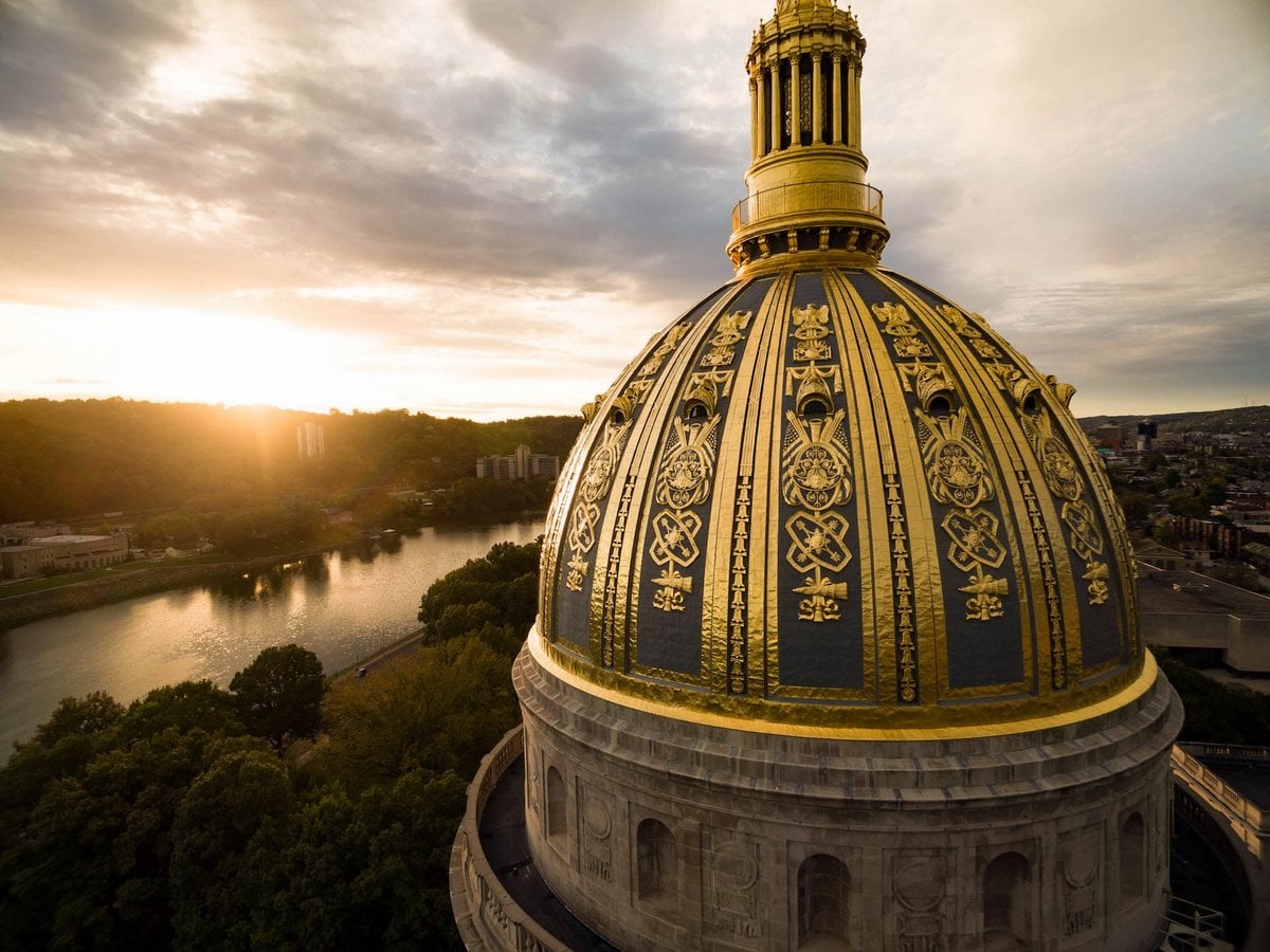
The old downtown capitol burned in 1921. Architect Cass Gilbert was then selected to design a new capitol complex along the Kanawha River. Construction proceeded in stages beginning in the 1920s, and the completed capitol was dedicated on June 20, 1932. Its dome rises 292 feet, higher than the dome of the U.S. Capitol in Washington.
The capitol grounds also include the West Virginia Executive Mansion and other state government buildings and monuments.
Downtown Charleston
Charleston’s relationship with its rivers is especially evident downtown. The city’s early street plan extended from the Elk River eastward toward what is now Capitol Street, and the commercial city that followed continued to develop along the Kanawha.
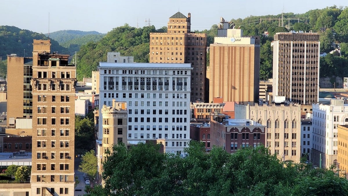
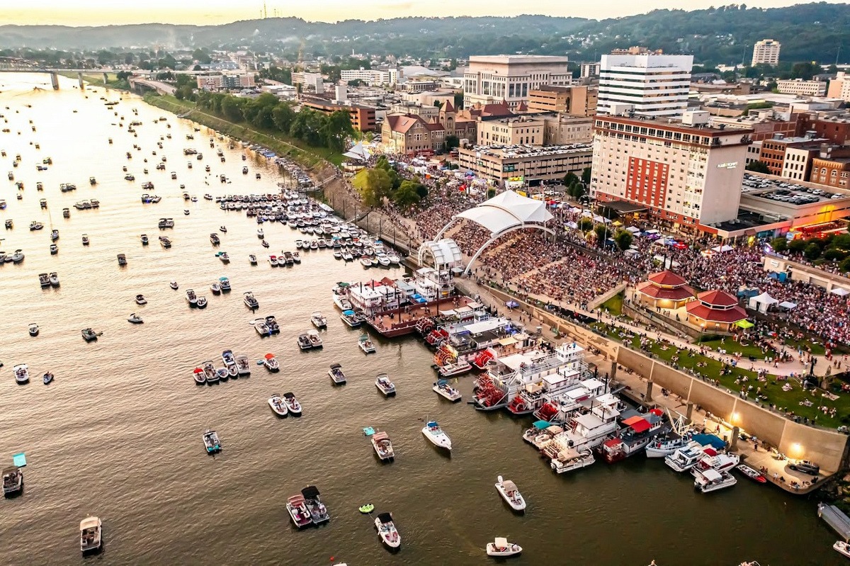
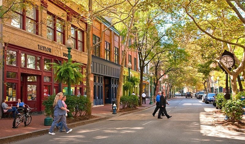
Capitol Street remains one of downtown’s principal pedestrian-oriented streets, lined with restaurants, shops, offices, and historic commercial buildings. Nearby streets offer additional restaurants and entertainment venues, while Haddad Riverfront Park brings concerts and community events directly to the Kanawha.
The modern street grid conceals how old the downtown is. According to historical accounts, some street names were changed in the 19th century as the growing town sought to bring order to an increasingly confusing system of names. By the 1870s, Charleston had gas streetlights and railroad service, and federal improvements to navigation on the Kanawha were helping transform the river into a more dependable commercial transportation route.
History of Charleston
Long before Charleston became a state capital, the confluence of the Elk and Kanawha rivers was a key point along a natural travel corridor through the mountains.
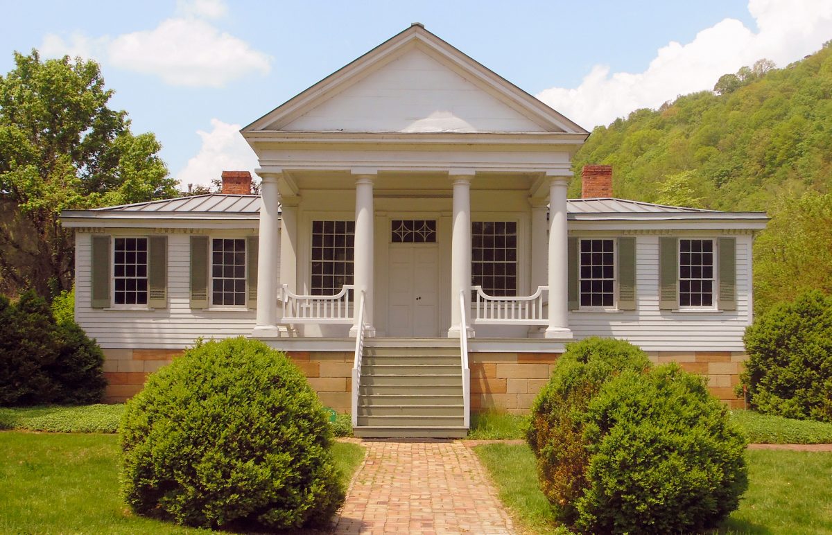
European-American exploration and settlement increased in the 18th century. Historical accounts place frontier figures, including Mary Draper Ingles, Matthew Arbuckle, Simon Kenton, and Andrew Lewis, in or near the Kanawha Valley before a permanent town was established.
George Clendenin and a party of settlers established a settlement at the mouth of the Elk in the late 1780s. Fort Lee, a frontier post named for Gen. Henry “Light-Horse Harry” Lee, stood there. When Kanawha County was organized in 1789, the settlement became its county seat.
The community was known as Clendenin’s Settlement and the Town at the Mouth of Elk before being chartered as Charleston in 1794. The name honored Charles Clendenin, George Clendenin’s father.
Early Charleston was tiny by modern standards. Its original town site covered about 40 acres, extending from the Elk River toward present-day Capitol Street. Transportation remained difficult. Mail from Lewisburg arrived by horseback, ferries crossed the rivers, and residents relied on mills for flour, meal, and lumber.
The rivers gradually reduced that isolation. An attempted steamboat voyage up the Kanawha reached the area in 1819 but could not overcome the river’s swift current. Two years later, a steamer successfully reached Charleston. Newspapers, banks, merchants, churches, courts, and other institutions followed as the town grew into a commercial center for the Kanawha Valley.
The development of the region’s salt, coal, timber, chemical, and natural-resource industries further expanded the city’s importance. Improved navigation, railroads, bridges, and eventually highways reinforced its role as the central Kanawha Valley’s principal city.
Its selection as the permanent state capital in the late 19th century added another function that still shapes Charleston today.
Arts, museums, and culture
As West Virginia’s capital, Charleston is home to several of the state’s major cultural institutions.
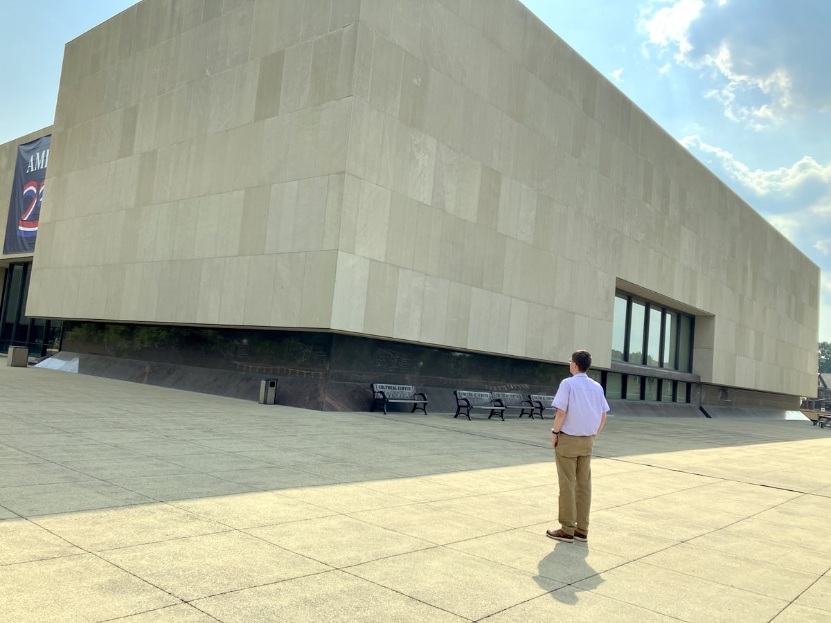
The West Virginia State Museum at the capitol complex interprets the state’s natural and cultural history, while the Clay Center for the Arts & Sciences combines performance spaces with art, science, and educational exhibits. The city also hosts galleries, live music, theater, festivals, and other cultural events year-round.
Charleston’s architecture reflects several periods of its growth. Government buildings dominate the capitol complex, while downtown retains commercial buildings from the period when Charleston was rapidly developing as a river, railroad, industrial, and governmental center. Residential neighborhoods on the surrounding hills preserve additional examples of late-19th- and early-20th-century architecture.
Parks and outdoor recreation
Charleston’s setting gives visitors access to outdoor recreation without traveling far from the city.
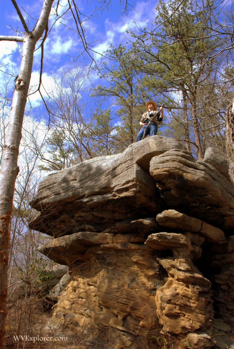
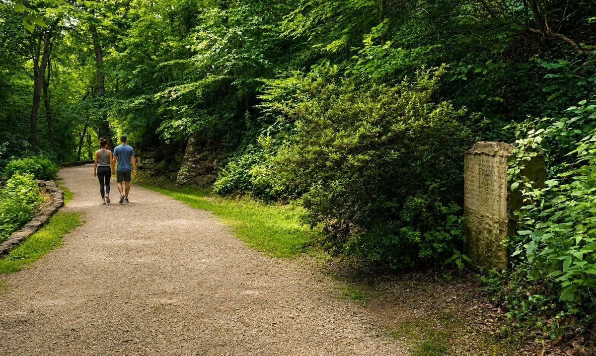
Kanawha State Forest is the largest nearby public recreation area. The forest’s 9,300 acres include more than 60 miles of trails, a campground, picnic areas, and habitat known for wildflowers and birdlife. Much of the property had been logged or mined before the state began acquiring land in 1937. The Civilian Conservation Corps subsequently developed roads, shelters, and other facilities there.
Coonskin Park, north of the city, provides additional recreation, while smaller parks and green spaces are distributed throughout Charleston’s neighborhoods. The Kanawha and Elk rivers also remain central to the city’s outdoor identity, though their modern recreational role differs greatly from their historic importance as transportation corridors.
Economy and government
State government is one of Charleston’s defining institutions, but the city’s economy extends well beyond the capitol. Health care, professional services, retail, hospitality, education, law, and other service industries provide employment in the city and the surrounding Kanawha Valley.
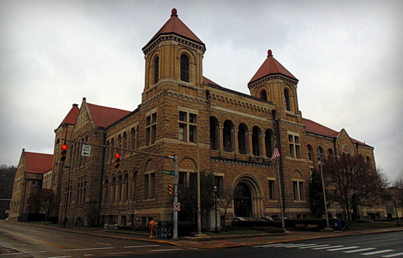
Charleston also serves a much larger population than its municipal boundaries suggest. Residents of surrounding communities routinely travel into the city for employment, medical care, government services, shopping, entertainment, and cultural events.
That regional role helps explain why a city with fewer than 50,000 residents supports institutions and services more common in larger metropolitan areas.
Transportation
Charleston sits at one of West Virginia’s most important transportation crossroads.
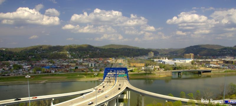
Interstates 64 and 77 pass through the city, while Interstate 79 begins north of Charleston. These highways provide direct connections to Huntington and Kentucky to the west, Beckley and Virginia to the south, Parkersburg and Ohio to the north, and the New River Gorge and points east.
West Virginia International Yeager Airport serves the Charleston area from a hilltop northeast of downtown.
Modern highways are the latest transportation system to benefit from Charleston’s location. Ferries, steamboats, improved river navigation, railroads, streetcars, bridges, and highways have shaped the city’s development over time. The Chesapeake and Ohio Railway began serving Charleston in the 1870s, helping tie the Kanawha Valley more closely to national markets.
Nearby destinations
Charleston lies near several other communities in the Kanawha Valley, including South Charleston, Dunbar, Nitro, St. Albans, and Kanawha City, now a neighborhood within Charleston.
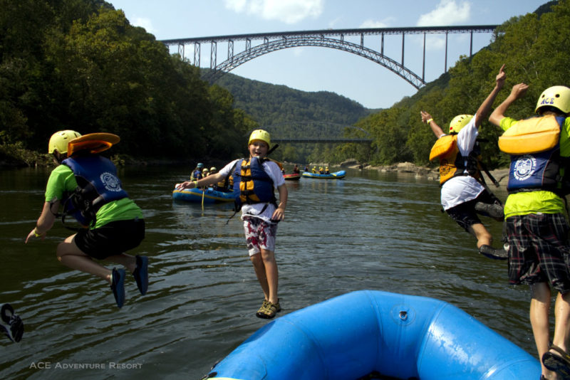
Travelers can also use Charleston as a starting point for exploring the mountains of central and southern West Virginia. The New River Gorge region lies southeast of the city, while the Elk River country and the state’s more mountainous interior extend to the northeast.
For travelers crossing West Virginia on Interstate 64 or Interstate 77, Charleston offers one of the state’s largest concentrations of lodging, dining, museums, entertainment, and visitor services.
The city was, and remains, a hospitality hub. The Daniel Boone Hotel, now a luxury office building, was one of many hotels that gained worldwide fame. West Virginia still has the highest concentration of hotels here.
Lodging near Charleston, West Virginia
Regional Information
Charleston is located in the Metro Valley Region of western West Virginia.
Latest Charleston News

Award-winning films from Cannes, Berlin coming to West Virginia film festival

Snowshoe sets Nov. 25 opening date as West Virginia ski season approaches
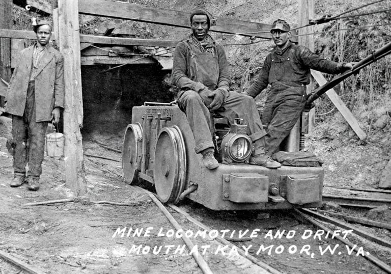
Industrialization created a new naming system across West Virginia coalfields
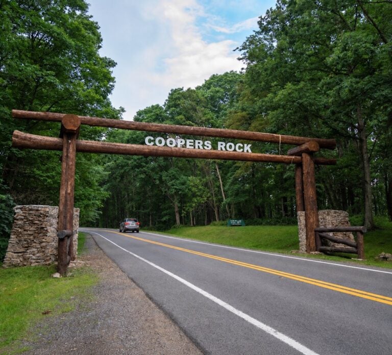
Foundation seeks to expand private funding for West Virginia State Parks projects

Fewer acorns could mean more deer sightings for West Virginia hunters this fall