

The Allegheny Front is a prominent Appalachian escarpment that extends through Maryland, Pennsylvania, and West Virginia, forming a major physical boundary between the Appalachian Plateaus to the west and the Appalachian Valley and Ridge province to the east.
In West Virginia, some of the state’s highest, wettest, and most rugged landscapes are along the front. Its influence is evident in the mountains, forests, streams, and weather of the eastern highlands, where dramatic differences in elevation and precipitation can occur over relatively short distances.
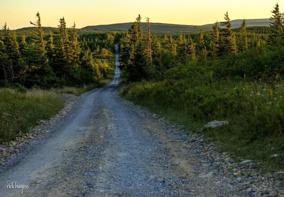
The mountains east of the boundary have been folded and faulted; those to the west are nearly horizontal. The front extends from Lock Haven, Pennsylvania, in the northwest, to Bramwell, West Virginia, in the southwest, for more than 400 miles.
Geography
The front trends generally northeast to southwest through the central Appalachians.
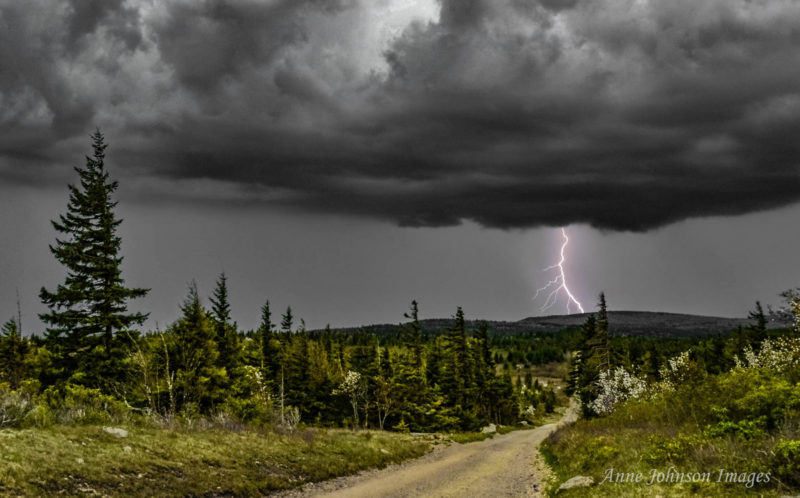
Rather than a single mountain or a continuous narrow ridge, it’s an extensive escarpment associated with the eastern margin of the Appalachian Plateau. In places, it appears as a conspicuous mountain wall rising above the valleys to the east.
The U.S. Geological Survey has described the Allegheny Front as a prominent southeast-facing scarp. In Pennsylvania, Maryland, and West Virginia, it marks an abrupt transition between two of the major physiographic divisions of the Appalachian Mountains.
In West Virginia, the Appalachian Plateaus occupy most of the state. Consequently, the front marks one of the state’s most important changes in landscape and underlying geological structure.
Geology of the Allegheny Front
The rocks on either side of the Allegheny Front help illustrate why the landscape changes so dramatically there.


To the east, the Valley and Ridge province of the Appalachian Mountains is built of sedimentary rocks that have been extensively folded and faulted. The same broad sequence of Paleozoic rocks continues westward into the Appalachian Plateaus, where the layers are generally much less deformed.
The Allegheny Front roughly marks the abrupt reduction in deformation between the two provinces.
West Virginia Geological and Economic Survey educational materials describe the Allegheny Structural Front as the eastern edge of the Appalachian Plateau and an exceptionally dramatic geological transition in the Appalachian region.
Weather and precipitation
The front strongly influences precipitation in the West Virginia highlands.

As air masses move across the mountains, they encounter increasingly high terrain, and changes in elevation and topography can produce pronounced differences in precipitation.
U.S. Forest Service research identifies a rain shadow east of the Allegheny Front, where precipitation declines markedly from the wetter Allegheny Mountains immediately to the west. The result is one of West Virginia’s striking climatic contrasts: exceptionally wet highlands adjoin substantially drier valleys to the east.
Elevation and topography also contribute to differences in snowfall and temperature across the region.

Rivers and watersheds
The front is closely associated with the highland divide between waters flowing toward the Atlantic Ocean and those ultimately entering the Ohio and Mississippi river systems.
The Allegheny Front and the Eastern Continental Divide are not identical geographical features, but their proximity in parts of the West Virginia highlands reflects the region’s commanding elevation.
Streams originating on opposite sides of the high country can therefore begin relatively near one another before flowing toward opposite sides of the continent.
Visiting the Allegheny Front
Some of the most dramatic landscapes associated with the Allegheny Front are found in the eastern highlands of West Virginia.

The region includes extensive public lands, mountain overlooks, high-elevation forests, and trails in and around the Monongahela National Forest. The Dolly Sods region offers particularly dramatic examples of eastern West Virginia’s elevated plateau landscapes.
Travel conditions can change rapidly at higher elevations. Snow, fog, strong winds, and substantially lower temperatures can occur in the mountains even when conditions are milder in surrounding valleys.
Visitors traveling into remote areas should check current road and weather conditions before departure.
An Appalachian landmark
The Allegheny Front’s significance extends well beyond West Virginia.
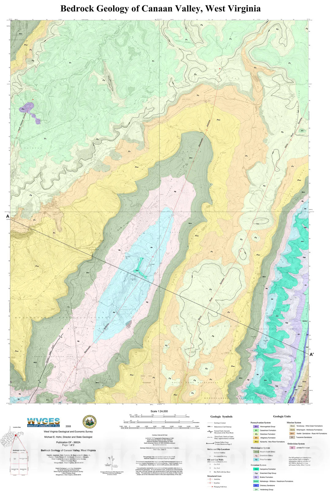
The U.S. Geological Survey recognizes the escarpment across Pennsylvania, Maryland, and West Virginia as the boundary between the Valley and Ridge and Appalachian Plateaus provinces.
An early USGS geological description went even further, describing the Allegheny Front as dividing the Appalachian Highlands of Pennsylvania, Maryland, and West Virginia into two major parts.
In West Virginia, that Appalachian-scale boundary becomes closely tied to the state’s high mountains, wet forests, watersheds, and distinctive eastern landscapes.
The Allegheny Front is consequently not simply another West Virginia mountain range. It is one of the Appalachian Mountains’ major geographical boundaries.