
MORGANTOWN, W.Va. — In West Virginia, where forests cover nearly four of every five acres, a wildfire can ignite on a remote mountainside far from roads, fire stations, cameras, or anyone likely to report the first signs of smoke.

Engineers at West Virginia University are developing a satellite-based artificial intelligence system that could help change that by detecting wildfires from space and automatically adjusting satellite observation schedules as fires spread.
The technology could eventually give firefighters earlier warnings and a clearer view of fires burning across rugged or inaccessible terrain.
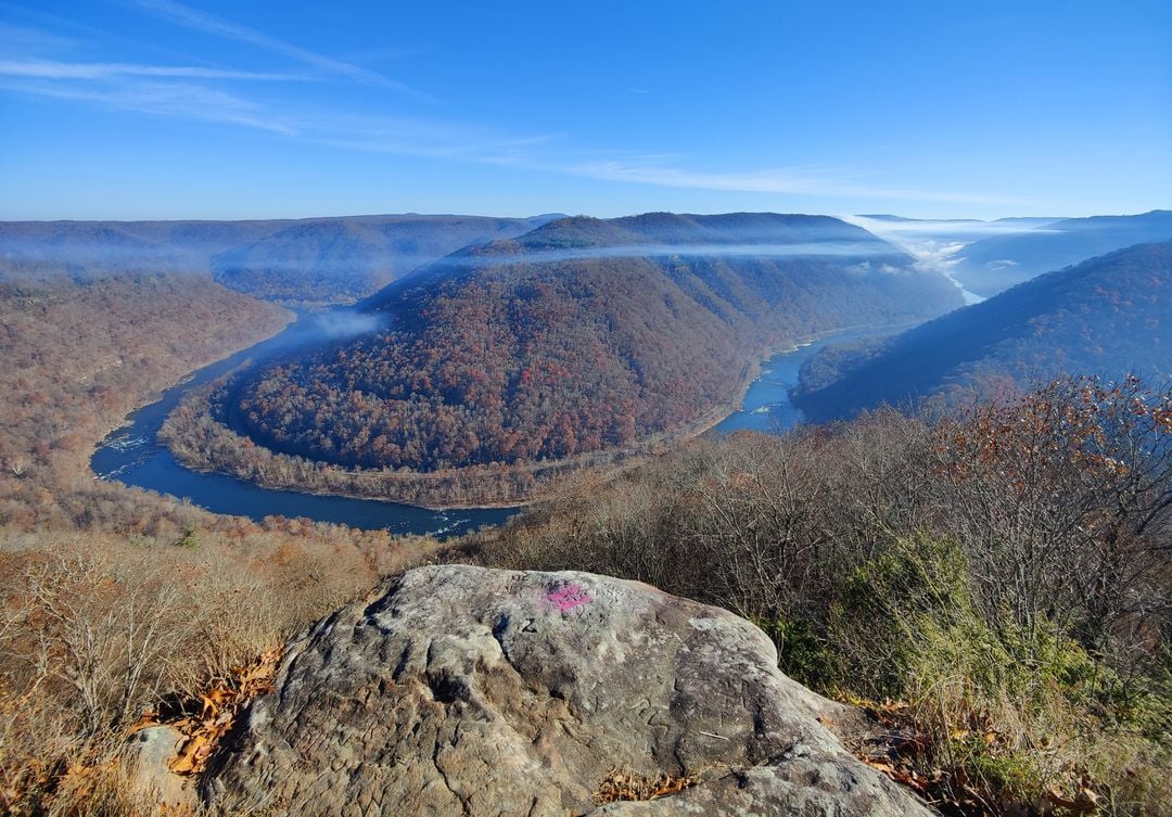
West Virginia is the nation’s third-most forested state, with approximately 78% of its land covered by forest. The W.Va. Division of Forestry is responsible for protecting nearly 12 million acres of forestland, making wildfire detection especially important in a state characterized by steep slopes, narrow valleys, and extensive woodland.
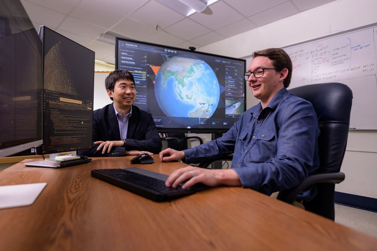
WVU researchers Brycen Pearl, Joshua Warner, and Hang Woon Lee developed a framework that enables satellites to detect wildfires, share information, and adjust when and where they observe Earth as a fire develops.
Unlike drones, cameras, and ground sensors, satellites can survey enormous areas without requiring equipment to be installed and maintained in every forest or mountain valley.
“Wildfires move quickly—as fast as 15 to 20 mph under the right conditions—and major wildfires can cover hundreds of thousands of acres,” said Lee, director of the WVU Space Systems Operations Research Laboratory and an assistant professor in the Benjamin M. Statler College of Engineering and Mineral Resources in Morgantown.
“Both of these aspects make containment very difficult, and the rapid rate at which wildfires change makes them very hard to track as well. So does the terrain, since wildfires thrive in areas with dense vegetation and hills.”
Those conditions are particularly relevant in West Virginia and across Appalachia, where densely forested mountains can limit what firefighters, cameras, and aircraft can see from any single location.
West Virginia wildfires are generally smaller than the massive blazes that have devastated parts of the American West, but the state still experiences hundreds of fires in some years. In the first six months of 2021, for example, the state recorded 550 wildfires that burned more than 4,200 acres.
The state’s wildfire history also helped shape its modern forestry program. In 1908, fires burned more than 1.7 million acres of West Virginia forestland, helping lead to the creation of the state’s forest-protection system.
Satellites could follow fires as they spread
Satellites already gather imagery and data on vegetation, surface temperature, wind, and other conditions that influence wildfire behavior. The challenge is turning that enormous volume of information into timely warnings that firefighters can act on.
“Wildfire behavior is a complex system, where a huge number of factors interact with each other in ways that can spiral into unexpected outcomes,” said Pearl, a Statler College doctoral candidate in aerospace engineering.
Wind is one of the most significant factors in a fire’s direction and speed, but it can change suddenly. A fire burning in a canyon can create a chimney effect that pulls air upward, intensifies flames, and drives the fire rapidly toward higher ground.
Large fires can also become hot enough to alter the atmosphere above them, producing clouds and thunderstorm-like weather generated by the fire itself.
The WVU team created an AI framework that interprets satellite images, uses statistical methods to evaluate the accuracy of those interpretations, and then automatically adjusts satellite schedules and positions to continue monitoring a suspected fire.
Pearl led the development of the WildFire-applicable Intelligent and Responsive Ensemble for Detection and Scheduling, known as WildFIRE-DS, with Lee and undergraduate researcher Warner.
The project received support from the NASA West Virginia Established Program to Stimulate Competitive Research. The researchers presented the algorithm in the Journal of Aerospace Information Systems.
Warner said speed is essential because a small ignition can become a substantial wildfire in less than an hour. “Satellites need to pass overhead frequently, ground sensors need to be in constant operation, and data interpretation needs to occur in near-real-time,” he said.
Current detection systems often rely on fixed cameras, sensors, aircraft, public reports, or satellite passes that follow schedules established before a fire begins. WildFIRE-DS would add another capability: once satellites detect a possible wildfire, the system could autonomously determine where to look next and how soon to return.
Building a network in space
The concept resembles terrestrial wildfire camera networks but operates on a global scale. Warner cited the ALERTCalifornia system, which uses more than 1,200 high-definition cameras, including those with near-infrared capability, to monitor fire-prone landscapes around the clock.
Similar monitoring from space could be provided by constellations of dozens of satellites working together. Pearl pointed to projects such as the Earth Fire Alliance’s FireSat and the OroraTech Wildfire Constellation, which are being developed to detect relatively small fires and use artificial intelligence to analyze repeated images of the same locations.
“These constellations are planned to have 50 to 100 satellites with the resolution to see fires as small as cars, powered by AI to interpret many previous images of the same area to ensure the existence of a wildfire before automatically sending out firefighters—no need for someone to call 911 first,” Pearl said.
The WVU system goes beyond using AI to identify a fire in an image. It also uses that information to determine how satellites should be repositioned and rescheduled. That could allow satellites to revisit the affected area sooner, observe changes more frequently, and provide updated information as flames move across the landscape.
Rather than remaining limited to the observation plan established when they were deployed, maneuverable satellites could shift their attention toward newly detected fires and coordinate with other satellites in the constellation.
The technology would not replace firefighters, aircraft, drones, cameras, or ground sensors. Instead, researchers envision it as another layer in a broader detection and monitoring system.
“On the ground, teams are deploying permanent sensor and camera systems that watch fire-prone land at all times,” Pearl said. “In the air, drone technology is reaching new heights with better drone propellers, smaller frames, better battery life, better cameras, and more well-trained remote pilots.”
“In space, satellites are being dedicated to wildfire monitoring with better placement, better cameras, and AI to process images and detect wildfires on the satellite itself before relaying that back to the ground.”
All of those developments, Pearl said, are intended to achieve the same objective: “giving firefighting crews a head start.”
