WHITESVILLE, W.Va. — A new recreational trail in an isolated valley in southern West Virginia has piqued the curiosity of hikers, bikers, and residents wondering about its impact.
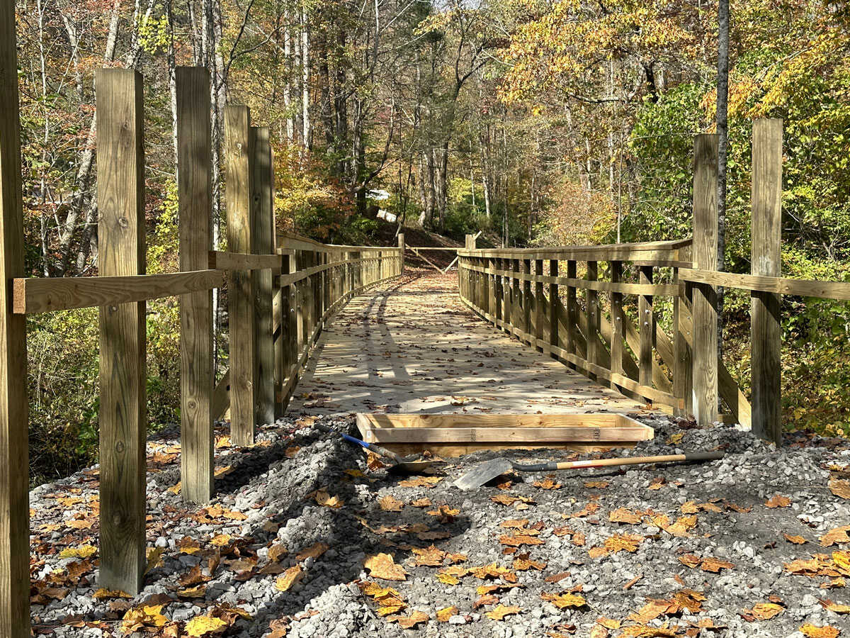
The 15-mile Clear Fork Rail Trail, the first phase of which is set to open in spring 2024, follows an old railroad through one of the most unusual landscapes in the Mountain State, a virtual wilderness once home to thousands of miners and their families.
Residents who live along the trail are concerned about an increase in all-terrain vehicles and resulting noise and vagrancy, but Molly Williams, the director of parks and recreation for Raleigh County, says motor vehicles are not permitted.
“Boulders and bollards will be put in place to prevent ATVs and side-by-sides from using the trail,” Williams said. “Law enforcement will be patrolling as well as our parks staff, but this is where the community steps in to help report any problems.”
According to the National Association of Realtors, studies have confirmed that such trails can increase property values by as much as 15 percent. According to the National Park Service, crime rates have also been lower along trails than in adjacent areas.
“It’s a great trail and a beautiful landscape,” says Williams. Its remote nature is an allure, though its eastern trailhead at Clear Creek is a drive of only 20 minutes from Interstate 77 at Pax, West Virginia.
“That’s part of the draw,” she said of the trail’s remote character. “It’s about the immersive experience of the Appalachian forest.”
News of the trail has already increased interest in the area among investors in property, and Williams said residents of the trail gateway community in Whitesville, West Virginia, could look forward to residential and commercial investment.
“A trail like this has the potential to attract businesses such as restaurants, coffee shops, ice-cream shops, and small lodging facilities, though it would be a seasonal business at first,” she said. It will also serve the community as a destination for exercise.
The trail was the innovation of David Rotenizer, an extension agent at West Virginia State University who brokered an agreement between Raleigh County and the U.S. Surface Transportation Board to acquire the defunct line in 2014.
In the early 1900s, the valley was one of the most productive mining regions in the U.S., but mining employment declined with the advent of mechanization. Since the 1950s, the region has suffered a dramatic decline in population and employment.
The rugged valley is also one of the deepest in the state: the waters of the Clear Fork descend from more than 3,300 feet above sea level on Coal River Mountain to 819 feet at Jarrold’s Valley at the trail’s western end.
Though isolated by the surrounding mountains, the valley was once part of an important Native American trail, the Paint Creek Trail, which crossed through what’s now southern West Virginia, following the Clear Fork and Coal River between the waters of the Bluestone and Kanawha Rivers.
The Clear Fork and Marsh Fork join at Jarrold’s Valley to form the Coal River, now one of the state’s premier flatwater kayaking trails. The Clear Fork is also an established whitewater kayaking run when water is high.
For more information on the trail, visit Clear Fork Rail Trail.