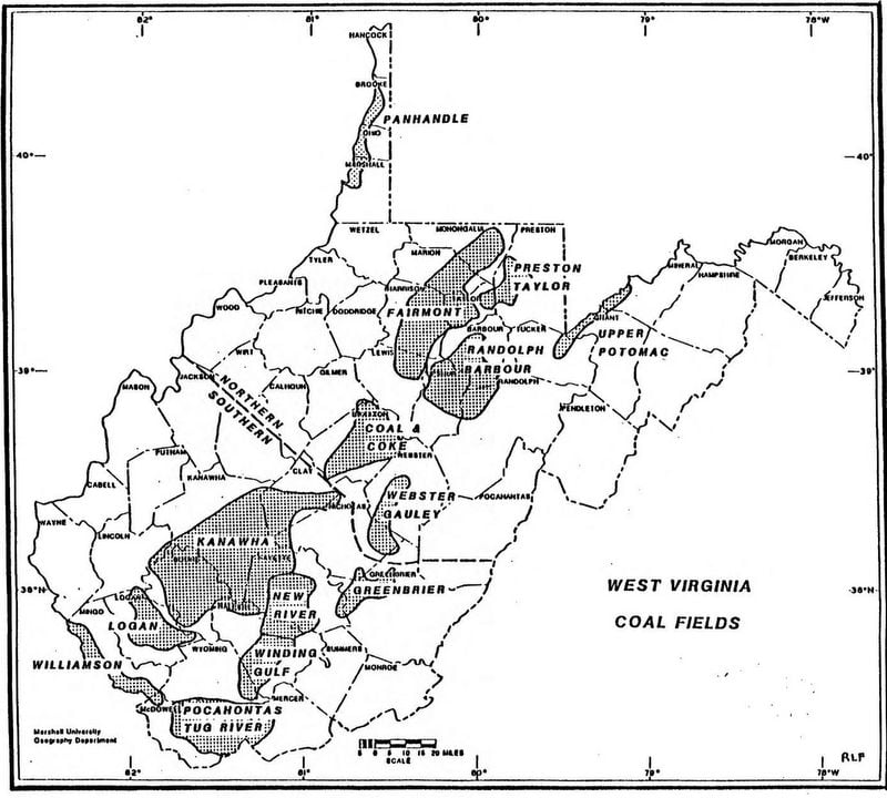
The Elkins Coal Field is the name used to describe a coal-producing section of West Virginia that includes the following counties, in whole or in part: Braxton, Lewis, Webster, Upshur, Randolph, Tucker, Grant, and Mineral counties.
Coal Seams of the Elkins Coal Field
The Pittsburg seam is by far the most important seam in the Northern Division but does not occur extensively in the Elkins Coal Field, only occurring in the region around Elk Garden. Mines in Grant County have mined principally the Upper Freeport, Lower Freeport, and Lower Kittanning seams. In Randolph and Barbour counties in the regions around Elkins and Buckhannon, and in Webster and Braxton counties, the principal producing seams have been the Upper and Lower Freeport, Lower Kittanning, and Redstone. The Bakerstown seam has been mined in the region around Elk Garden and in Tucker County. In the Elk Garden region, the Bakerstown coal appears as a semi-anthracite 27 to 30 inches thick.
Development of the Elkins Coal Field
In about 1854, the New Creek Company, later the Piedmont Coal and Iron Company, began shipping coal via recently complete lines of the Baltimore & Ohio Railroad (B&O), from mines located near the present-day site of Piedmont, WV, in Mineral County. Not long after this, Henry Gassaway Davis began selling coal to the B&O from lands in the Piedmont area Davis had obtained via the barter system, those mines being operated under the name of H. G. Davis and Company.