
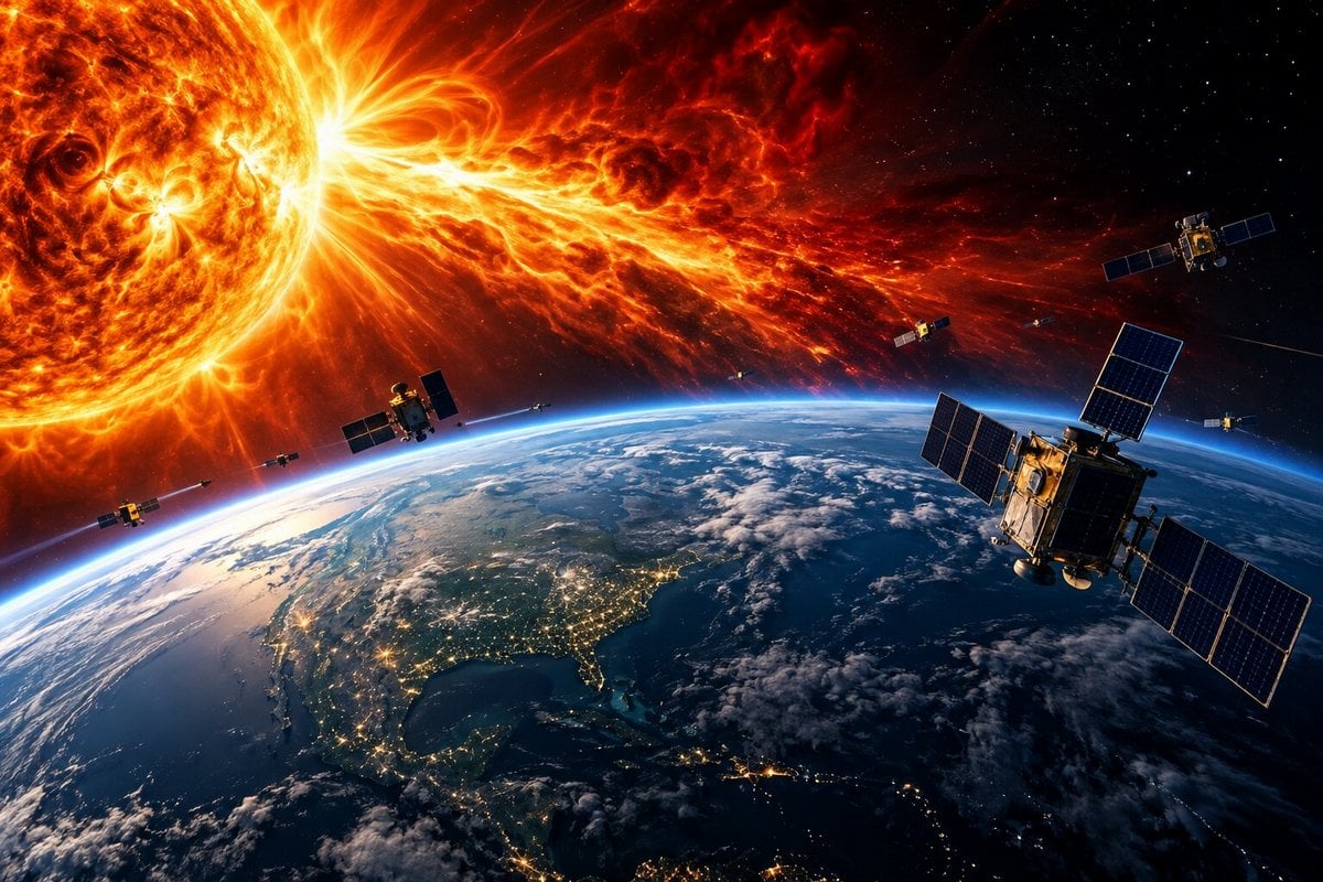
MORGANTOWN, W.Va. — Solar storms can expand Earth’s upper atmosphere, slow satellites, change their orbits, and make them harder to track. As thousands of additional satellites circle the planet, those disturbances are becoming an increasingly important concern for the companies and governments that operate them.

A West Virginia University researcher will lead a $2.7 million federally funded project to improve forecasts of those disturbances, potentially helping satellite operators avoid collisions and interruptions to communications, navigation, and other essential services.
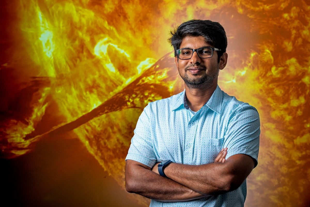
Piyush Mehta, an associate professor of mechanical, materials, and aerospace engineering at the university in Morgantown, said satellite operators need to understand not only what forecasters expect to happen but also how confident they are in those predictions.
“If the weatherman told you there’s going to be rain tomorrow, the next question you’re going to ask is, ‘What is the chance? Is it 100% or is it 10%?’ You will plan your day very differently if it was 100 versus if it was 10,” Mehta said.
The dangers became apparent in February 2022, when a geomagnetic storm contributed to the loss of 38 newly launched SpaceX satellites. According to NASA, the satellites encountered increased atmospheric drag, failed to reach their intended operating orbits, and burned up during reentry.
How solar storms threaten satellites
Geomagnetic storms occur when disturbances associated with solar activity interact with Earth’s magnetic field. The resulting changes can heat and expand the upper atmosphere, increasing the resistance satellites encounter as they travel through it.
That resistance, known as atmospheric drag, gradually slows satellites and alters their orbits. During severe storms, the changes can become difficult to predict, complicating efforts to determine where satellites will be and whether they might collide with other objects.
Mehta said the problem is especially challenging because satellite operators cannot necessarily maneuver their spacecraft quickly enough to avoid an approaching object.
Many satellites use propulsion systems designed to conserve fuel, meaning adjustments can require hours or days of advance planning.
“Imagine that burden on the operator for somebody who’s monitoring and operating five satellites versus somebody who’s operating 5,000 satellites,” Mehta said.
The increasing number of satellites also means operators must evaluate more potential collisions. Because orbital predictions contain uncertainties, many warnings ultimately prove unnecessary, yet responding to them can consume time, fuel, and operational resources.
“Most of those warnings turn out to be false alarms, because the uncertainties aren’t characterized correctly,” Mehta said.
A $2.7 million effort to improve forecasts
The four-year project is supported by a collaborative grant from the National Science Foundation, including $1.4 million awarded to the university.
Mehta will lead a multi-institution research team combining machine learning with physics-based models to improve predictions of geomagnetic storms and their effects on the upper atmosphere.
A central goal is to measure and communicate uncertainty throughout the forecasting process, from conditions originating at the Sun to changes in satellite orbits and the resulting collision risks.
Better estimates could help operators determine when evasive maneuvers are necessary and when a warning is unlikely to represent a serious threat.
WVU researchers will focus on forecasting geomagnetic disturbances and modeling how they change upper-atmosphere density. Ohio State University will examine the resulting effects on satellite trajectories and collision risks, while George Mason University will evaluate the potential economic and societal consequences.
Southwest Research Institute will collaborate on storm forecasting, and commercial satellite-tracking company LeoLabs will provide radar observations to help test the models. NASA, the Air Force Research Laboratory, and the Japan Aerospace Exploration Agency will also provide operational input.
The researchers plan to release their resulting framework as open-source software, allowing other scientists and satellite operators to build upon their work.
Why the research matters on Earth
The consequences of space weather extend beyond satellites.
Geomagnetic storms can interfere with radio communications, degrade satellite navigation accuracy, and disrupt electrical infrastructure. Such disturbances are particularly concerning because modern transportation, emergency response, telecommunications, and weather forecasting depend on technologies vulnerable to space weather.
In March 1989, a powerful geomagnetic storm caused a widespread power outage in Quebec, leaving millions without electricity for approximately nine hours. The same storm also interfered with the U.S. military’s ability to track objects in orbit.
Mehta said the military temporarily lost track of more than 1,000 objects during that event, illustrating how atmospheric disturbances can undermine even established surveillance systems.
The growing number of spacecraft makes accurate forecasts increasingly important. Large satellite constellations are expanding commercial communications networks, while additional companies are exploring applications that could require even more objects in orbit.
The project is intended to help operators distinguish genuine threats from uncertain predictions before committing to potentially costly maneuvers.
Building a space research program in West Virginia
Mehta established WVU’s Astrodynamics, Space Science, and Space Technology Laboratory after joining the university in 2018. He also leads its Center for Innovation in Space Exploration and Research, established in 2023 to advance research into orbital safety, satellite tracking, and sustainable space operations.
His previous work has included using artificial intelligence to model Earth’s magnetic environment and studying interactions between plasma and the upper atmosphere.
The new grant will also support graduate research, educational materials, and science and engineering outreach for students in kindergarten through 12th grade.
Mehta, who serves on the National Oceanic and Atmospheric Administration’s Space Weather Advisory Group and previously served on the NASA Space Weather Council, said improving space weather forecasting has become a central focus of his career.
“I’ve invested so much of my life and career in this issue,” he said. “I would really like to be part of the solution.”