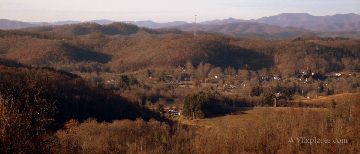
Lester, West Virginia (WV), a community in Raleigh County, was incorporated in 1910 and named for Champ Lester, an early settler. Lester is situated on the headwaters of the Marsh Fork of the Coal River on Surveyor Branch near the headwaters of the Slab Fork of the Guyandotte River.

The Virginian Railway and Chesapeake & Ohio Railway vied for control of Jenny Gap, the notch between the two watersheds of the Coal and Guyandotte rivers, when the regional coalfields were being developed.
Lodging near Lester, West Virginia
Map of Lester, West Virginia
Location
Lester is located on highways WV-54 and WV-97 approximately three miles west of the WV-16 expressway at Sophia, West Virginia, four miles south of Glen Daniel, West Virginia, and 15 miles north of Mullens, West Virginia.
Regional Information
Lester is located in the Hatfield & McCoy Region in southern West Virginia near the New River Gorge Region.