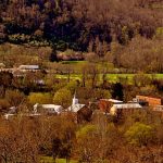
Putnam County, in western West Virginia (WV), was created in 1848 from parts of Cabell, Mason, and Kanawha counties. Although somewhat removed from the state’s mountain counties, it is revered as one of the most scenic counties in the state. Its county seat is at Winfield on the Kanawha River.
The Putnam County region was among the first to be settled in West Virginia and is among its most productive agricultural markets. Its economy is strongly tied to that of the Charleston and Huntington metropolitan areas, located to the east and west, respectively.
Interstate 64 (I-64) follows the suburban Teays Valley through the southern neck of Putnam County. A part of the southern county is also drained by the Pocatalico River. Much of the northern county is wooded or in farmland. As of the 2010 census, the population of Putnam County was 55,486.
Cities & Towns in Putnam County
Bancroft, West Virginia
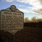
Buffalo, West Virginia
Eleanor, West Virginia
Extra, West Virginia
Fraziers Bottom, West Virginia
Hurricane, West Virginia
Liberty, West Virginia
Nitro, West Virginia
Nye, West Virginia
Paradise, West Virginia
Pliny, West Virginia
Poca, West Virginia
Red House, West Virginia
Robertsburg, West Virginia
Scott Depot, West Virginia
Teays Valley, West Virginia
Winfield, West Virginia
Winter, West Virginia
Parks & Public Recreation Facilities
Amherst-Plymouth Wildlife Management Area
Hurricane City Park (Hurricane, WV)
Nitro City Park (Nitro, WV)
Putnam County Fairground (Eleanor, WV)
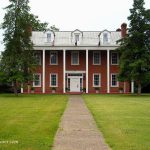
Putnam County Historic Landmarks
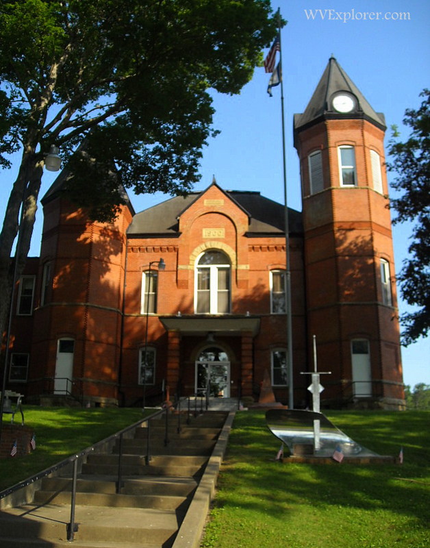
Putnam County Courthouse (Winfield, WV)
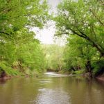
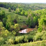
Photos of Putnam County


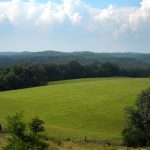
Photos of Putnam County II


Regional information for Putnam County, West Virginia
Further information on lodging, dining, and recreation in Putnam County may be found in our guide to travel in the Metro Valley Region in western West Virginia, in which Putnam County is located. For more information, contact the Putnam County Convention and Visitors Bureau.