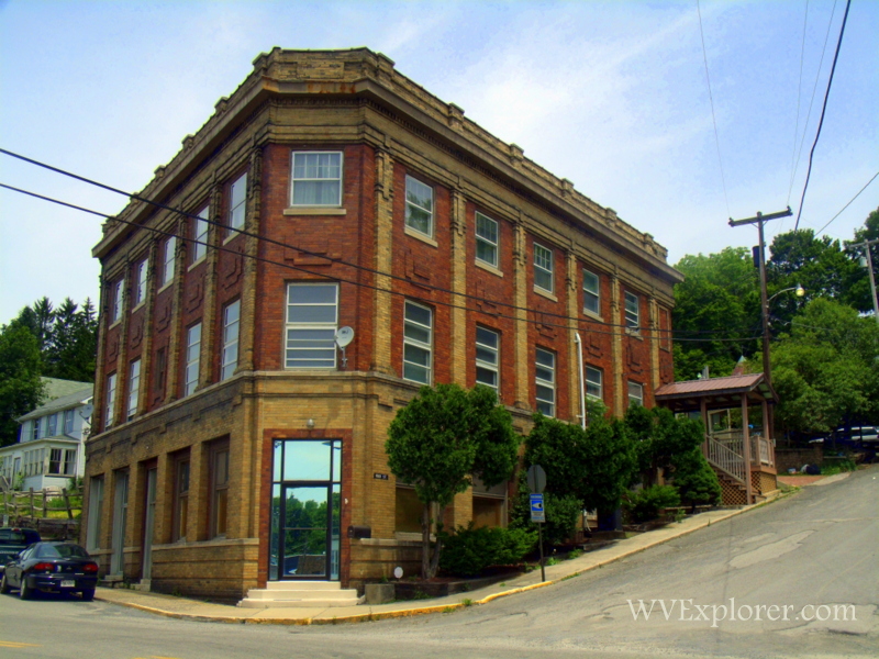
Terra Alta, West Virginia (WV), a community in Preston County, gained recognition in 1853 as the highest locale along the Baltimore & Ohio Railroad. The half-mile-high city gained fame for its elevation at 2,582 feet above sea level and was long known as “Cranberry” and “Cranberry Summit,” so-named for cranberry glades found nearby. The state in 1911 established a tuberculosis hospital, Hopemont Sanitarium, here where the climate was judged to be ideal for patients in need of clean mountain air.

Lodging near Terra Alta, West Virginia
Parks & Public Recreation
Cranesville Swamp, a wilderness preserve noted for its marshy Canadian ecosystem, is located 10 miles north of the community, and Cathedral State Park, which similarly protects an evergreen forest, is located 10 miles south.
Location
Terra Alta is located on highway WV-7 approximately 10 miles west of Oakland, Maryland, 10 miles east of Kingwood, West Virginia, and 10 miles north of highway US-50 at Aurora, West Virginia.
Map of Terra Alta, West Virginia
Regional Information
Terra Alta is located in the Monongahela Valley Region in northeastern West Virginia near the Allegheny Highlands Region.